PIN 193121 Area 80 ha | State Jammu and Kashmir Time zone IST (UTC+5:30) Elevation 1,553 m Population 16,409 (2006) | |
 | ||
Weather 11°C, Wind S at 5 km/h, 73% Humidity University Government Degree College, Pattan Neighborhoods Bhat Mohalla, Mir Colony, Alumdar Colony | ||
Snow clearance in pattan town of baramulla district
Pattan(Urdu;پٹن )is a town and a municipal committee in Baramulla district , in the Indian state of Jammu and Kashmir.
Contents
- Snow clearance in pattan town of baramulla district
- Map of Pattan 193121
- Geography
- Demographics
- References
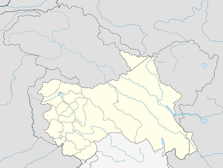
Map of Pattan 193121
Geography
Pattan is located at 34.17°N 74.57°E / 34.17; 74.57. It has an average elevation of 1553 metres (5095 ft). Pattan is one of the historical capitals of Kashmir valley, located nearly in the center of the valley. Pattan tehsil has remains of four palaces including two in the municipal limits.
Demographics
As of 2001 India census, Pattan had a population of 11,409. Males constitute 52% of the population and females 48%. Pattan has an average literacy rate of 37%, lower than the national average of 59.5%: male literacy is 44%, and female literacy is 28%. In Pattan, 14% of the population is under 6 years of age.
References
Pattan Wikipedia(Text) CC BY-SA
