
Time zone CET/CEST (UTC+1/+2) Area 254 ha Postal code 67826 Dialling code 06362 | Elevation 246 m (807 ft) Postal codes 67826 Population 756 (31 Dec 2008) Local time Wednesday 7:13 AM | |
 | ||
Weather 5°C, Wind SW at 5 km/h, 95% Humidity | ||
Hallgarten is an Ortsgemeinde – a municipality belonging to a Verbandsgemeinde, a kind of collective municipality – in the Bad Kreuznach district in Rhineland-Palatinate, Germany. It belongs to the Verbandsgemeinde of Bad Kreuznach, whose seat is in the like-named town. Hallgarten is a state-recognized tourism community.
Contents
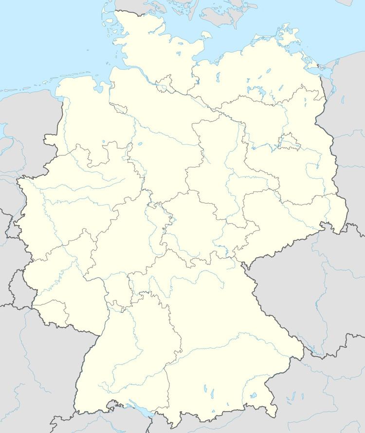
- Map of Hallgarten Germany
- Location
- Neighbouring municipalities
- Constituent communities
- History
- Montfort Castle
- Dreiweiherhof
- Population development
- Religion
- Municipal council
- Mayor
- Coat of arms
- Buildings
- Hallgarten main centre
- Transport
- Education
- References
Map of Hallgarten, Germany
Location
Hallgarten lies in the Rheingrafenstein Recreational Area (Erholungsgebiet) roughly 10 km southwest of the town of Bad Kreuznach and a like distance southeast of the town of Bad Sobernheim. Three kilometres to the northwest looms the Lemberg. Lying around the village, which itself nestles in a hollow, are woodlands and vineyards. Also lying within Hallgarten’s limits are the ruins of Montfort Castle, a popular tourist destination.
Neighbouring municipalities
Clockwise from the north, Hallgarten’s neighbours are the municipalities of Feilbingert, Hochstätten, Alsenz and Niedermoschel, the town of Obermoschel, the municipalities of Duchroth and Oberhausen an der Nahe. The third, fourth and fifth places named lie in the neighbouring Donnersbergkreis.
Constituent communities
Hallgarten’s Ortsteile are the main centre, also called Hallgarten, and the outlying centre of Dreiweiherhof. There is also a rural hamlet below the castle ruins called Montforterhof.
History
In 1391, Hallgarten had its first documentary mention as Hargarten. Also belonging to the municipality is Dreiweiherhof, once a farmers’ and day labourers’ settlement that was once an Electoral Palatinate customs post with a brickworks. All that is now left of the brickworks is one stack, a landmark that can be seen quite far away. The Romans, too, left their traces, and from them also comes the name of the Römerstraße (“Roman road”). After an eventful history, Hallgarten passed in 1768 to Electoral Palatinate. In 1798, the municipality was incorporated into the French state, within which it found itself in the Department of Mont-Tonnerre (or Donnersberg in German) until it passed under the terms of the Congress of Vienna to the Kingdom of Bavaria in 1816. After the dissolution of the Rockenhausen district in 1969, Hallgarten was grouped into the Bad Kreuznach district. Today, Hallgarten is a recreational and residential community. The population hovers at about 800 and is growing steadily.
Montfort Castle
Rather a great deal of Hallgarten’s mediaeval history has to do with Montfort Castle, a major military stronghold in the local area shared by a number of lordships. The Montfort ruin is among the Palatinate’s most impressive castle remnants. Lying today in a secluded woodland away from main highways some 10 km west of Bad Münster am Stein-Ebernburg, the castle was built by the Counts of Veldenz about 1200 to keep watch upon a nearby army road. The origin of the name – which means “strong mountain” (albeit in French, not German) – is uncertain. It could have been brought back by Crusader knights from the Holy Land, where the Teutonic Knights owned a mighty castle, also named "Montfort Castle" (“מבצר מונפור”), which now lies within Israel, and which is also a ruin. The first known, and perhaps also the most important, dweller at the castle was Eberhard von Lautern (1182-1240). He was the father of his line, the Montforts. His son was the first to name himself “Knight of Montfort”. He held important Ämter in the Palatinate, and in 90 centres in the Eastern Palatinate and Rhenish Hesse, he also held great – and small – landholds. The knights were well respected and landed, and it was therefore not really necessary for them to behave as robber knights, as some of their contemporaries felt free to accuse them of doing. As a coat of arms, they bore an escutcheon that could be described as “Azure a bend countercompony sable and argent” (at right). Various knights bore these arms, either undifferenced or with marks of cadency. This noble house died out in 1432. The earliest known document, from 1226, and the next after that make it clear that Montfort Castle was very early on also inhabited by other knightly families, which made it a Ganerbenburg, or jointly held castle. The joint holders (Ganerben) each acquired through marriage or sale a castle house as an hereditary property, somewhat like a modern-day condominium. This afforded considerable personal protection in uncertain times, and for the castle itself, the presence of several defence forces – one kept by each lord – made for a much stronger military presence than was usual for such a stronghold. Joint rulers’ agreements still survive to which as many as 25 parties were signatory (although later in the castle’s history, this had shrunk to 17), which would seem to be proof that the castle’s population was roughly 150, and thus far greater than that in any of the surrounding villages. Living together in a tightly bordered castle area was regulated by very strict rules, an arrangement known as a Burgfrieden ("castle peace", a term later used in early-20th-century German politics, albeit in a modified sense). This agreement laid down the yearly contributions to the castle’s maintenance as well as the kinds and numbers of weapons needed to defend the castle and the food that was needed. The concentrated fighting force of such a great number of knights and their servants was surely what kept Montfort Castle from facing any serious attack or siege, at least as far as history records up to 1456. It took Archbishop of Mainz Diether’s and Elector Palatine Friedrich I’s vastly superior fighting forces to conquer and destroy the castle on 19 October of that year, with firearms, after a five-day siege. It was, however, more the castle’s overlord, Duke Ludwig the Black of Palatinate-Zweibrücken who was “damaged” rather than the castle itself. The only part of that that ever rose again was one of the dwelling towers. One of the joint holders who had been driven out, Sir Boos von Waldeck, built himself the Neues Schloss – "New Castle" – in the dale out of rubble from the destroyed old castle. This laid the groundwork for today’s hamlet of Montforter Hof (or Montforterhof). Montfort Castle, such as it now is, represents quite a rare example in Germany of a mediaeval castle, forsaken at the muzzles of cannon, whose 12th-to-15th-century structures are still clearly visible even now, and whose appearance was never altered in later times by modernization or reinforcement against firearms.
Dreiweiherhof
The Dreiweiherhof served “Schinderhannes” (or Johannes Bückler, to use his real name) as a hideout and base beginning in 1797.
Population development
Hallgarten’s population development since Napoleonic times is shown in the table below. The figures for the years from 1871 to 1987 are drawn from census data:
Religion
As at 30 September 2013, there are 776 full-time residents in Hallgarten, and of those, 298 are Evangelical (38.402%), 362 are Catholic (46.649%), 2 are Mennonites (0.258%), 6 (0.773%) belong to other religious groups and 108 (13.918%) either have no religion or will not reveal their religious affiliation.
Municipal council
The council is made up of 12 council members, who were elected by proportional representation at the municipal election held on 7 June 2009, and the honorary mayor as chairman. The municipal election held on 7 June 2009 yielded the following results:
Mayor
Hallgarten’s mayor is Jürgen Nau.
Coat of arms
The German blazon reads: In Gold die Mutter Gottes mit dem Zepter in ihrer rechten Hand und dem Kind auf dem linken Arm, wachsend über dem dreigeteilten Schild der Kurpfalz, bei dem das untere rote Feld nicht den Reichsapfel enthält, sondern leer und damasziert ist.
The municipality’s arms might in English heraldic language be described thus: Or the Mother of God proper crined and crowned of the field, vested gules and mantled azure with a nimbus of the field, in her dexter hand a staff flory of the field, on her sinister arm the child proper crined and with a nimbus of the field, in his sinister hand a bezant, the whole issuant from behind an inescutcheon tierced in mantle, dexter sable a lion rampant sinister Or armed, langued and crowned of the second, sinister paly lozengy argent and azure, in base gules.
The German blazon lays out the charges in far less detail than this, and it could therefore be that the heraldic artist indulged his fancy when executing these arms. The blazon also mentions the lack of a charge in the inescutcheon, namely the globus cruciger that apparently usually stands in the base. It furthermore notes that this field is to be diapered, although the examples in this article and at the municipal website do not show such a thing.
Buildings
The following are listed buildings or sites in Rhineland-Palatinate’s Directory of Cultural Monuments:
Hallgarten (main centre)
Dreiweiherhof
Transport
To Hallgarten’s east runs Bundesstraße 48. Serving Bad Münster am Stein-Ebernburg is a railway station on the Nahe Valley Railway (Bingen–Saarbrücken). Furthermore, there is a bus link to Bad Kreuznach.
Education
Hallgarten has one kindergarten.