
Time zone CET (UTC+1) Website donnersberg.de | Vehicle registration KIB Population 77,350 (31 Dec 2008) | |
 | ||
Points of interest Donnersberg, Burgruine Falkenstein, Museum im Stadtpalais Kirchheimbolanden, Keltendorf Steinbach, Museum Pachen Destinations | ||
The Donnersbergkreis is a district (Kreis) in the middle of Rhineland-Palatinate, Germany. Neighboring districts are Bad Kreuznach, Alzey-Worms, Bad Dürkheim, Kaiserslautern, Kusel.
Contents
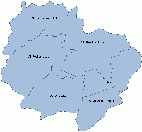
Map of Donnersbergkreis, Germany
History
The district was created in 1969 by merging the districts Kirchheimbolanden and Rockenhausen.
Geography
The district is located around the highest mountain of the Palatinate, the Donnersberg with 687 m above sea level.
References
Donnersbergkreis Wikipedia(Text) CC BY-SA