
- elevation 1,367 ft (417 m) Basin area 150.2 km² | - elevation 984 ft (300 m) | |
 | ||
- location Harrison County, West Virginia | ||
Drone footage around hackers creek wv
Hackers Creek is a tributary of the West Fork River, 25.4 miles (40.9 km) long, in north-central West Virginia in the United States. Via the West Fork, Monongahela and Ohio Rivers, it is part of the watershed of the Mississippi River, draining an area of 58 square miles (150 km2) on the unglaciated portion of the Allegheny Plateau. The stream is believed to have been named for a settler named John Hacker, who lived near the creek for over twenty years beginning around 1770, and was said to have been able to "read but not write; and yet he was a magistrate and a patriarch in the settlement."
Contents
- Drone footage around hackers creek wv
- Map of Hackers Creek Southwest WV USA
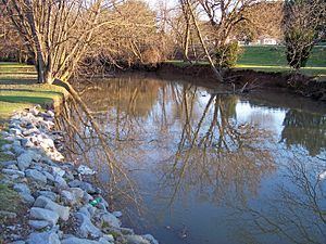
- Hackers creek 2
- Variant spellingsEdit
- References
Map of Hackers Creek, Southwest, WV, USA
Hackers Creek rises approximately 5 miles (8.0 km) north of Buckhannon in northern Upshur County and flows westwardly into northeastern Lewis County, where it turns northwestwardly and flows through the town of Jane Lew into southern Harrison County, where it joins the West Fork River from the southeast, approximately three miles (5 km) northwest of Jane Lew.
According to the West Virginia Department of Environmental Protection, approximately 69% of the Hackers Creek watershed is forested, mostly deciduous. Approximately 28% is used for pasture and agriculture, and less than 1% is urban.
Hackers creek 2
Variant spellingsEdit
According to the Geographic Names Information System, Hackers Creek has also been known historically as:
N.B.: Neighboring Barbour County, West Virginia, also has a Hacker's Creek, a tributary of the Tygart Valley River, about 3 miles downstream from Philippi.