Trisha Shetty (Editor)

Grieskirchen District

Updated on
Edit
Like
Comment
Share on FacebookTweet on TwitterShare on LinkedInShare on Reddit
Country
  
Austria

Time zone
  
CET (UTC+1)

Number of municipalities
  
34

State
  
Upper Austria

Area
  
579 km²

Team
  
SV Grieskirchen

Grieskirchen District traumhochzeitccimagegrabberphprid4749

Points of interest
  
Aquapulco‑Piratenwelt, Eurotherme Bad Schallerbach, Schloss Parz, Schloss Peuerbach, Schloss Tollet

Destinations
  
Bad Schallerbach, Sankt Agatha, Grieskirchen, Peuerbach, Geboltskirchen

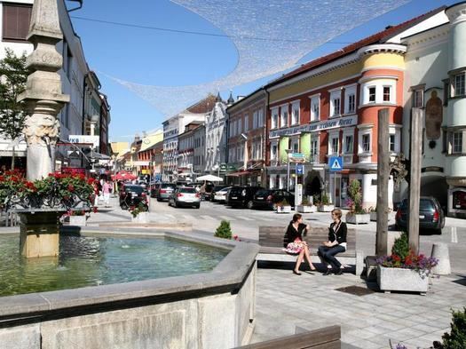
Bezirk Grieskirchen is a district of the state of Upper Austria in Austria.

Contents

Map of Grieskirchen District, Austria

Municipalities

Towns (Städte) are indicated in boldface; market towns (Marktgemeinden) in italics; suburbs, hamlets and other subdivisions of a municipality are indicated in small characters.

  • Aistersheim (786)
  • Bad Schallerbach (3287)
  • Bruck-Waasen (2302)
  • Eschenau im Hausruckkreis (1176)
  • Gallspach (2575)
  • Gaspoltshofen (3609)
  • Geboltskirchen (1412)
  • Grieskirchen (4807)
  • Haag am Hausruck (2047)
  • Heiligenberg (710)
  • Hofkirchen an der Trattnach (1510)
  • Kallham (2543)
  • Kematen am Innbach (1262)
  • Meggenhofen (1236)
  • Michaelnbach (1232)
  • Natternbach (2338)
  • Neukirchen am Walde (1686)
  • Neumarkt im Hausruckkreis (1447)
  • Peuerbach (2234)
  • Pollham (915)
  • Pötting (541)
  • Pram (1840)
  • Rottenbach (1009)
  • Schlüßlberg (2998)
  • Sankt Agatha (2119)
  • Sankt Georgen bei Grieskirchen (967)
  • Sankt Thomas (460)
  • Steegen (1124)
  • Taufkirchen an der Trattnach (2093)
  • Tollet (871)
  • Waizenkirchen (3660)
  • Wallern an der Trattnach (2874)
  • Weibern (1587)
  • Wendling (833)
  • References

    Grieskirchen District Wikipedia