
Vehicle registration GR Area 18.2 km² Population 1,361 (1 Apr 2009) Postal code 4714 | Time zone CET (UTC+1) Website www.meggenhofen.at Elevation 390 m Local time Saturday 1:26 AM Area code 07247 | |
 | ||
Weather 8°C, Wind W at 16 km/h, 88% Humidity | ||
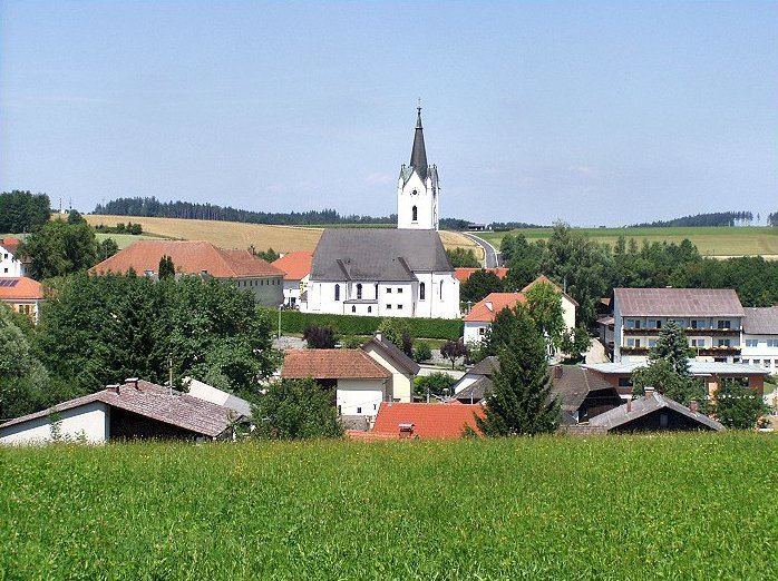
Meggenhofen is a municipality in the district of Grieskirchen in the Austrian state of Upper Austria.
Contents
Map of 4714 Meggenhofen, Austria
Geography
Meggenhofen lies in the Hausruckviertel. About 14 percent of the municipality is forest, and 76 percent is farmland.
References
Meggenhofen Wikipedia(Text) CC BY-SA