
Vehicle registration GR Elevation 377 m Local time Monday 1:28 PM Postal code 4715 | Time zone CET (UTC+1) Website www.taufkirchen.at Area 24.6 km² Population 2,008 (1 Apr 2009) Area code 07734 | |
 | ||
Weather 13°C, Wind E at 16 km/h, 30% Humidity | ||
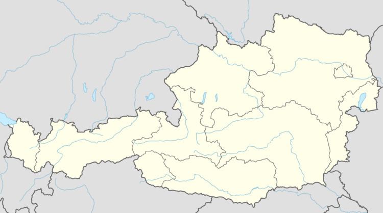
Taufkirchen an der Trattnach is a municipality in the district of Grieskirchen in the Austrian state of Upper Austria.
Contents
Map of 4715 Taufkirchen an der Trattnach, Austria
Geography
Taufkirchen lies in the Hausruckviertel. About 14 percent of the municipality is forest, and 78 percent is farmland.
References
Taufkirchen an der Trattnach Wikipedia(Text) CC BY-SA