
Country United States Elevation 263 m Population 11,005 (2010) | GNIS feature ID 0453955 Area 81.14 km² Local time Sunday 7:12 AM | |
 | ||
Weather 4°C, Wind SE at 8 km/h, 91% Humidity | ||
Vernon Township is one of nine townships in Hancock County, Indiana, United States. As of the 2010 census, its population was 11,005 and it contained 4,322 housing units.
Contents
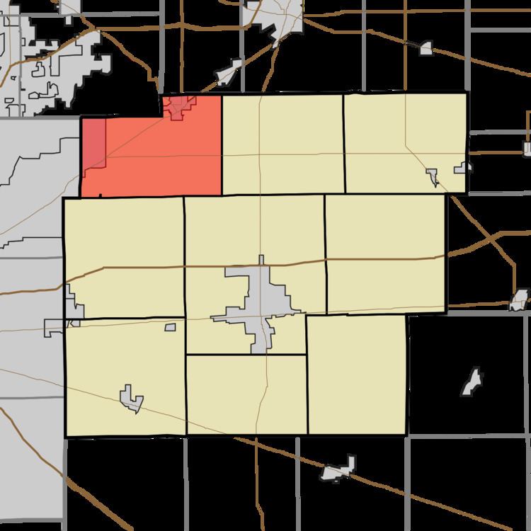
- Map of Vernon Township IN USA
- History
- Geography
- Cities and towns
- Unincorporated towns
- Adjacent townships
- Cemeteries
- Major highways
- References
Map of Vernon Township, IN, USA
History
Vernon Township was organized in 1836. It was named after Mount Vernon, the plantation home of President George Washington.
Frank Littleton Round Barn was listed on the National Register of Historic Places in 1993.
Geography
According to the 2010 census, the township has a total area of 31.33 square miles (81.1 km2), of which 31.26 square miles (81.0 km2) (or 99.78%) is land and 0.07 square miles (0.18 km2) (or 0.22%) is water.
Cities and towns
Unincorporated towns
(This list is based on USGS data and may include former settlements.)
Adjacent townships
Cemeteries
Vernon Township contains four cemeteries: Gillium-Chappel, McCordsville, Cauldwell-Brokaw, and the Caudell-Simmons