
Country United States GNIS feature ID 0453180 | Elevation 909 ft (277 m) | |
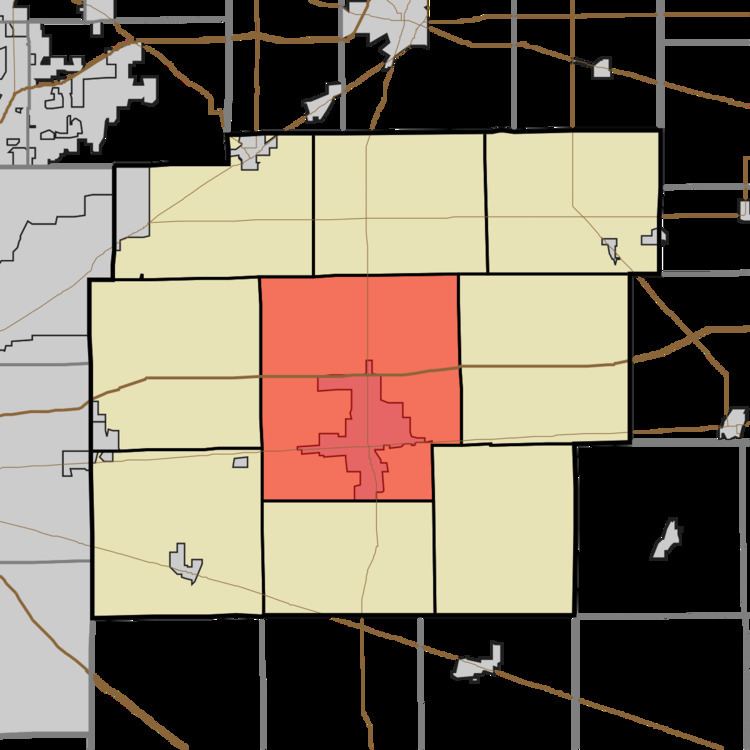 | ||
Center Township is one of nine townships in Hancock County, Indiana, United States. As of the 2010 census, its population was 25,819 and it contained 10,909 housing units.
Contents
- Map of Hancock County IN USA
- History
- Geography
- Cities and towns
- Unincorporated towns
- Adjacent townships
- Cemeteries
- Major highways
- Airports and landing strips
- References
Map of Hancock County, IN, USA
History
Center Township was organized in 1831. It was named from its position at the geographical center of Hancock County.
Geography
According to the 2010 census, the township has a total area of 53.44 square miles (138.4 km2), of which 53 square miles (140 km2) (or 99.18%) is land and 0.44 square miles (1.1 km2) (or 0.82%) is water. Lakes in this township include Roberts Lake. The stream of Little Brandywine Creek runs through this township.
Cities and towns
Unincorporated towns
(This list is based on USGS data and may include former settlements.)
Adjacent townships
Cemeteries
The township contains eleven cemeteries: Alford, Barrett, Caldwell, Cooper, Hinchman, Mount Carmel, Park, Pratt, Reeves, Sugar Creek and Willet.