
Area 62.5 km² Local time Thursday 7:00 PM | GNIS feature ID 0453342 Elevation 265 m Population 7,537 (2010) | |
 | ||
ZIP codes 46040, 46048, 46051, 46064 Weather 11°C, Wind N at 21 km/h, 43% Humidity | ||
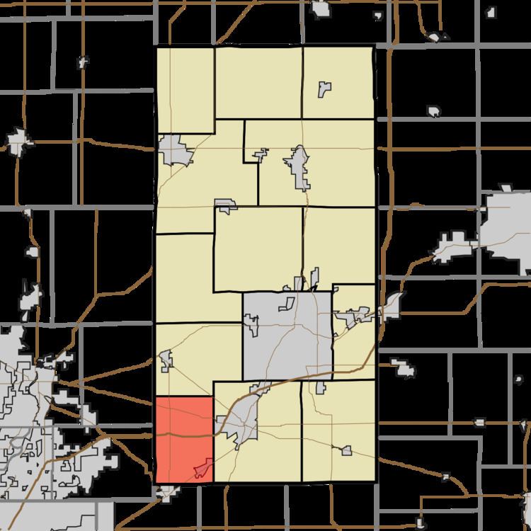
Green Township is one of fourteen townships in Madison County, Indiana, United States. As of the 2010 census, its population was 7,537 and it contained 2,758 housing units.
Contents
- Map of Green Township IN USA
- History
- Geography
- Cities towns villages
- Unincorporated towns
- Cemeteries
- Major highways
- School districts
- Political districts
- References
Map of Green Township, IN, USA
History
Green Township was organized in 1826. It was named for Nathanael Greene.
Geography
According to the 2010 census, the township has a total area of 24.13 square miles (62.5 km2), of which 23.99 square miles (62.1 km2) (or 99.42%) is land and 0.14 square miles (0.36 km2) (or 0.58%) is water.
Cities, towns, villages
Unincorporated towns
Cemeteries
The township contains these eight cemeteries: Doty, Fausset, Gravel Lawn, Hiday, Jones, Mount Carmel, Nicholson and Pleasant Valley.
Major highways
School districts
Political districts
References
Green Township, Madison County, Indiana Wikipedia(Text) CC BY-SA