
Country United States of America | ||
 | ||
Passes Smugglers Notch, Lincoln Gap, Appalachian Gap, Middlebury Gap, Hazen's Notch, Sherburne Pass, Granville Notch Mountains | ||
The Green Mountains are a mountain range in the U.S. state of Vermont. The range runs primarily south to north and extends approximately 250 miles (400 km) from the border with Massachusetts to that with Quebec, Canada. The part of the same range that is in Massachusetts and Connecticut is known as The Berkshires or the Berkshire Hills (with the Connecticut portion, mostly in Litchfield County, locally called the Northwest Hills or Litchfield Hills) and the Quebec portion is called the Sutton Mountains, or Monts Sutton.
Contents
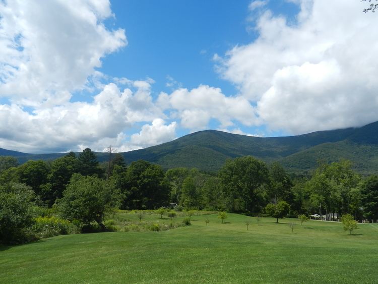
- Map of Green Mountains Montgomery VT 05471 USA
- PeaksEdit
- TourismEdit
- HistoryEdit
- Geology and physiographyEdit
- References
Map of Green Mountains, Montgomery, VT 05471, USA
All mountains in Vermont are often referred to as the "Green Mountains". However, other ranges within Vermont, including the Taconics — in southwestern Vermont's extremity — and the Northeastern Highlands, are not geologically part of the Green Mountains.
PeaksEdit
The best-known mountains – for reasons such as high elevation, ease of public access by road or trail (especially the Long Trail and Appalachian Trail), or with ski resorts or towns nearby – in the range include:
The Green Mountains are part of the Appalachian Mountains, a range that stretches from Quebec in the north to Alabama in the south.
The Green Mountains are part of the New England/Acadian forests ecoregion.
Three peaks – Mount Mansfield, Camel's Hump, and Mount Abraham – support alpine vegetation.
TourismEdit
Some of the mountains are developed for skiing and other snow-related activities. Others have hiking trails for use in summer. Mansfield, Killington, Pico, and Ellen have downhill ski resorts on their slopes. All of the major peaks are traversed by the Long Trail, a wilderness hiking trail that runs from the southern to northern borders of the state and is overlapped by the Appalachian Trail for roughly 1⁄3 of its length.
HistoryEdit
The Vermont Republic, also known as the Green Mountain Republic, existed from 1777 to 1791, at which time Vermont became the 14th state.
Vermont not only takes its state nickname ("The Green Mountain State") from the mountains, it is named after them. The French Verts Monts is literally translated as "Green Mountains". This name was suggested in 1777 by Dr. Thomas Young, an American revolutionary and Boston Tea Party participant. The University of Vermont and State Agricultural College is referred to as UVM, after the Latin Universitas Viridis Montis (University of the Green Mountains).
Geology and physiographyEdit
The Green Mountains are a physiographic section of the larger New England province, which in turn is part of the larger Appalachian physiographic division.
Lemon Fair runs through the towns of Orwell, Sudbury, Shoreham, Bridport, and Cornwall, Vermont, before flowing into Otter Creek. The story is that its name derives from early English-speaking settlers' phonetic approximation of 'Les Monts Vert'.