
Topo map USGS Woodford Prominence 338 m | Elevation 1,142 m | |
 | ||
Similar Stratton Mountain, Killington Peak, Dorset Mountain, Haystack Mountain, Mount Wilson | ||
New england legends glastenbury mountain connecting point web exclusive
Glastenbury Mountain is a mountain located in Bennington County, Vermont, in the Green Mountain National Forest. The mountain is part of the Green Mountains.
Contents
- New england legends glastenbury mountain connecting point web exclusive
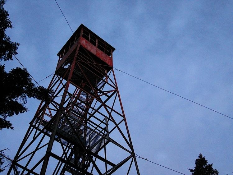
- Map of Glastenbury Mountain Glastenbury VT 05262 USA
- Glastenbury mountain
- References
Map of Glastenbury Mountain, Glastenbury, VT 05262, USA
The northeast side of Glastenbury Mountain drains into Deer Lick Brook, thence into the Glastenbury River, the Deerfield River, the Connecticut River, and into Long Island Sound in Connecticut. The southeast side of Glastenbury Mtn. drains into Deer Cabin Brook, and thence into the Glastenbury River. The southwest end of Glastenbury Mtn. drains into Bolles Brook, thence into the Roaring Branch of the Walloomsac River, the Hoosic River, the Hudson River, and into New York Bay in New York. The northwest side of Glastenbury drains into the Fayville Branch of Warm Brook, thence into Batten Kill and the Hudson River.
The Long Trail, a 272-mile (438-km) hiking trail running the length of Vermont, passes over the summit of Glastonbury Mountain. The Appalachian Trail, a 2,170-mile (3,500-km) National Scenic Trail from Georgia to Maine, coincides with this section of the Long Trail.