
Topo map USGS Killington Peak Prominence 1,010 m Listing Four-thousand footers | Elevation 1,291 m Parent range Coolidge Range | |
 | ||
Similar Pico Peak, Mount Ellen, Camel's Hump, Mount Abraham, Mount Mansfield | ||
Killington peak
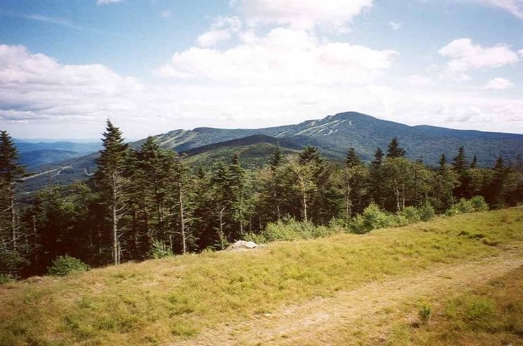
Killington Peak is the second highest summit in the Green Mountains and in the U.S. state of Vermont. It is located east of Rutland in south-central Vermont. A ski resort, Killington Ski Resort, nicknamed "the beast of the east, is located on the mountain. Killington is a stop on the Long Trail, which here shares its route with the Appalachian Trail. Traveling southbound on the Trail, it is the last 4,000 feet (1,200 m) peak until Virginia. A gondola transports skiers and non-hikers to the summit in winter, summer, and during fall color season. There is a lodge near the peak which is complete with a restaurant and bar with panoramic views.
Contents
Map of Killington Peak, Mendon, VT 05701, USA
In 1763, the mountain was known as Pisgah.
Killington (a.k.a. Sherburne) lodging situations have changed over the years from sleeping on barroom floors and barns on the mountain road, traveling up from nearby Rutland or Woodstock, to the present day which has over 120 inns, lodges and condominium complexes. Their sleeping capacity brings this Central Vermont region's tourist population to 60,000+ on prime winter weekends.