
Country United States Elevation 203 m Local time Friday 10:14 PM | GNIS feature ID 0453333 Area 109.6 km² Population 1,668 (2010) | |
 | ||
Weather 9°C, Wind W at 8 km/h, 97% Humidity | ||
Graham Township is one of ten townships in Jefferson County, Indiana, United States. As of the 2010 census, its population was 1,668 and it contained 711 housing units.
Contents
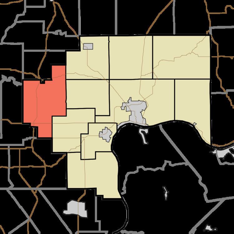
- Map of Graham Township IN USA
- Geography
- Unincorporated towns
- Extinct towns
- Adjacent townships
- Cemeteries
- Major highways
- References
Map of Graham Township, IN, USA
Geography
According to the 2010 census, the township has a total area of 42.31 square miles (109.6 km2), of which 42.09 square miles (109.0 km2) (or 99.48%) is land and 0.22 square miles (0.57 km2) (or 0.52%) is water. The streams of Dry Branch, Lewis Creek, Little Creek, Neils Creek and Walton Creek run through this township.
Unincorporated towns
Extinct towns
Adjacent townships
Cemeteries
The township contains three cemeteries: Carmel, Robertson and Valley.
Major highways
References
Graham Township, Jefferson County, Indiana Wikipedia(Text) CC BY-SA