
Country United States GNIS feature ID 453517 Local time Monday 1:54 AM | FIPS code 18-38772 Elevation 203 m Population 2,520 (2010) | |
 | ||
Weather 0°C, Wind E at 10 km/h, 47% Humidity Area 81.27 km² (78.22 km² Land / 3.056 km² Water) | ||
Johnson Township is one of five townships in Scott County, Indiana. As of the 2010 census, its population was 2,520 and it contained 1,037 housing units.
Contents
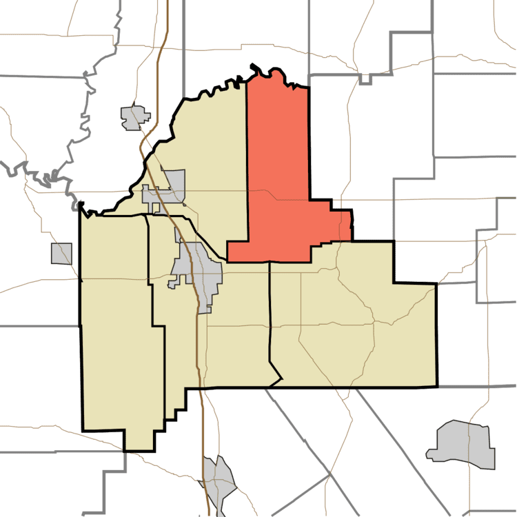
Map of Johnson Township, IN, USA
Geography
According to the 2010 census, the township has a total area of 31.38 square miles (81.3 km2), of which 30.2 square miles (78 km2) (or 96.24%) is land and 1.18 square miles (3.1 km2) (or 3.76%) is water.
Unincorporated towns
References
Johnson Township, Scott County, Indiana Wikipedia(Text) CC BY-SA