
 | ||
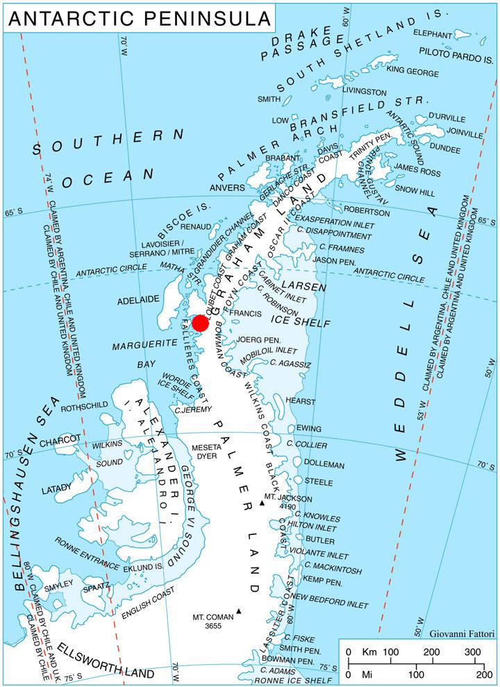
Glavinitsa Peak (Bulgarian: връх Главиница, ‘Vrah Glavinitsa’ \'vr&h gla-'vi-ni-tsa) is the peak rising to 1500 m in the central part of Rudozem Heights on German Peninsula, Fallières Coast in Graham Land, Antarctica. It has precipitous and partly ice-free northwest and south slopes, and is surmounting Bader Glacier to the north and Bucher Glacier to the southwest.
Contents
Map of Glavinitsa Peak, Antarctica
The peak is named after the town of Glavinitsa in Northeastern Bulgaria.
Location
Glavinitsa Peak is located at 67°38′34″S 66°42′36″W, which is 12.84 km northeast of Bottrill Head and 6.71 km south-southeast of Thomson Head. British mapping in 1978.
Maps
References
Glavinitsa Peak Wikipedia(Text) CC BY-SA