
 | ||
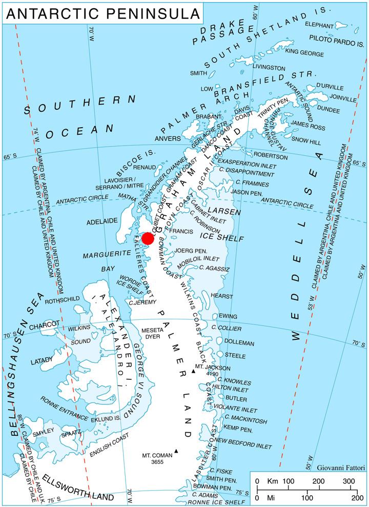
Thomson Head (67°35′S 66°46′W) is a steep, rocky headland rising to 915 m at the east side of Bourgeois Fjord, between Perutz and Bader Glaciers, forming the north extremity of German Peninsula on Fallières Coast on the west side of Graham Land, Antarctica. First surveyed in 1936 by the British Graham Land Expedition (BGLE) under Rymill. Resurveyed in 1948-49 by the Falkland Islands Dependencies Survey (FIDS) and named for William H. Thomson, FIDS air pilot at Stonington Island in 1947.
Map
References
Thomson Head Wikipedia(Text) CC BY-SA