
 | ||
German Peninsula (Bulgarian: полуостров Герман, ‘Poluostrov German’ po-lu-'os-trov 'ger-man) is the mountainous peninsula projecting from the north end of Fallières Coast in Graham Land, Antarctica 11.4 km in west direction between Bourgeois Fjord to the north and west, and Dogs Leg Fjord to the south. It is extending 15.9 km between Thomson Head to the north and Bottrill Head to the southwest, with its interior occupied by Rudozem Heights.
Contents
Map of Jutland, 6040 Egtved, Denmark
The peninsula is named after the settlement of German in Western Bulgaria, now part of the city of Sofia.
Location
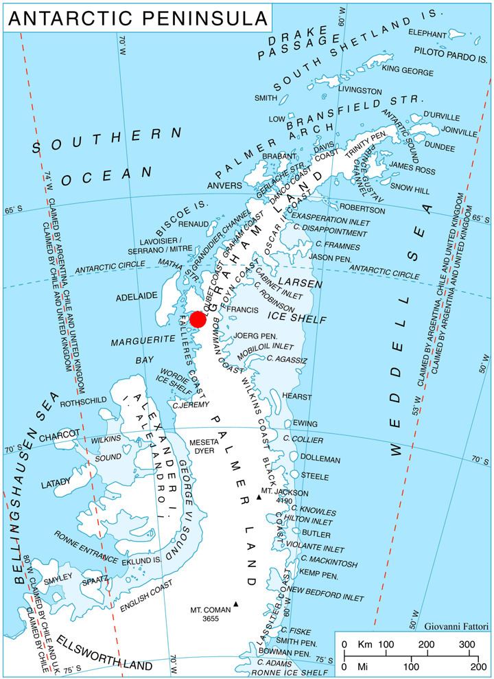
German Peninsula is centred at 67°39′00″S 66°45′00″W. British mapping in 1978.
Maps
References
German Peninsula Wikipedia(Text) CC BY-SA