
Continent Africa | Area Ranked 45th | |
 | ||
Borders Total land borders:Sudan (1,937 km)Central African Republic (682 km)Ethiopia (883 km)Kenya (232 km)Uganda (435 km)Democratic Republic of Congo (628 km) Highest point Kinyeti3,187 m (10,456.0 ft) | ||
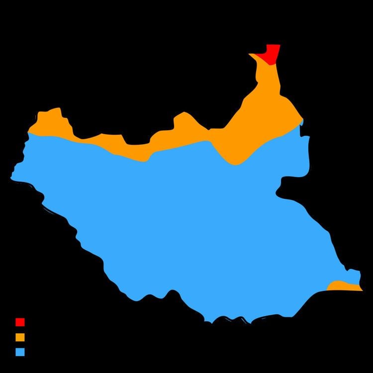
The geography of South Sudan describes the physical features of South Sudan, a country in East Africa. South Sudan is a landlocked country and borders - clockwise - Sudan from the north, Ethiopia from the east, Kenya, Uganda and the Democratic Republic of the Congo from the south and the Central African Republic from the west.
Contents
Until July 9, 2011 it was part of Sudan, then the largest country in Africa before a referendum took place in January 2011.
Political Geography
South Sudan is divided into 28 states which correspond to three historical regions of the Sudan: Bahr el Ghazal, Equatoria, and Greater Upper Nile.
Bahr el Ghazal
- Aweil
- Aweil East
- Eastern Lakes
- Gogrial
- Gok
- Lol
- Tonj
- Twic
- Wau
- Western Lakes
Equatoria
- Amadi
- Gbudwe
- Imatong
- Jubek (containing the national capital city of Juba)
- Maridi
- Namorunyang
- Terekeka
- Yei River
Greater Upper Nile
- Boma
- Eastern Bieh
- Eastern Nile
- Jonglei
- Latjoor
- Northern Liech
- Ruweng
- Southern Liech
- Fangak (earlier called Western Bieh)
- Western Nile
The Abyei Area, a small region of Sudan bordering on the South Sudanese states of Northern Bahr el Ghazal, Warrap, and Unity, currently has a special administrative status in Sudan and is governed by an Abyei Area Administration. It was due to hold a referendum in 2011 on whether to join South Sudan or remain part of the Republic of Sudan, but in May the North Sudanese military seized Abyei, and it is not clear if the referendum will be held.
Land boundaries
The length of South Sudan's borders is 4,797 kilometers.
Bordering countries are (with boundary length):
Mountains
The Imatong Mountains are located in the southeast of South Sudan in the erstwhile state of Eastern Equatoria, and extend into Uganda. Mount Kinyeti is the highest mountain of the range at 3,187 metres (10,456 ft), and the highest in the whole of South Sudan. The range has an equatorial climate and had dense montane forests supporting diverse wildlife. In recent years the rich ecology has been severely degraded by forest clearance and subsistence farming, leading to extensive erosion of the steep slopes.