
Area 22.02 km² | Website Garigal National Park Established April 19, 1991 | |
Managing authorities Management National Parks and Wildlife Service Similar Lane Cove National Park, Davidson Park, Georges River National, Roseville Bridge, Bantry Bay | ||
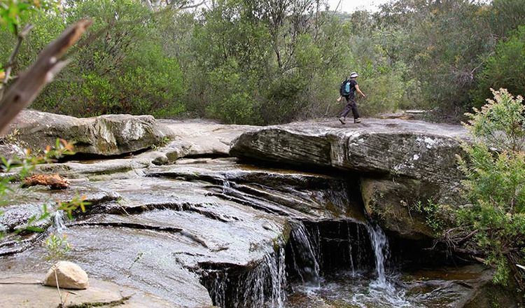
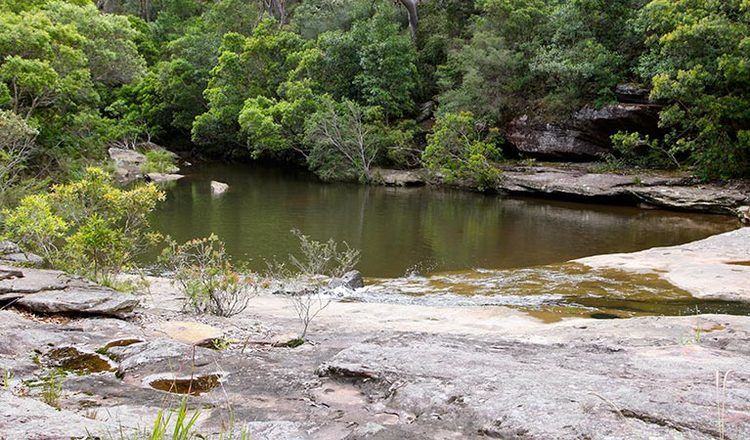
The cascades part 2 garigal national park in sydney
The Garigal National Park is a protected national park that is located in the North Shore region of Sydney, New South Wales, in eastern Australia. The 2,202-hectare (5,440-acre) national park is situated approximately 20 kilometres (12 mi) north of the Sydney central business district.
Contents
- The cascades part 2 garigal national park in sydney
- Echidna in garigal national park sydney
- Etymology and indigenous heritage
- Location
- Fauna
- References
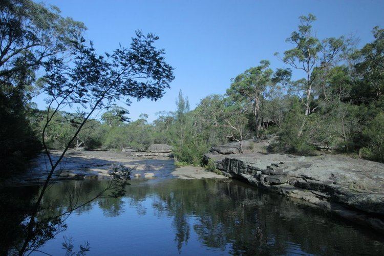
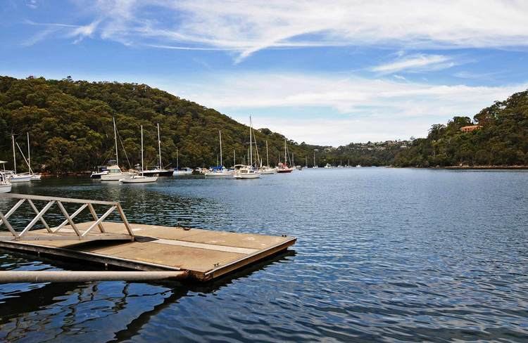
Split into three distinct sections, divided by natural geography, urban development and road infrastructure, the park comprises the valley of Middle Harbour Creek and its tributaries, the slopes along the northern side of Middle Harbour as far as Bantry Bay and part of the catchment of Narrabeen Lakes.
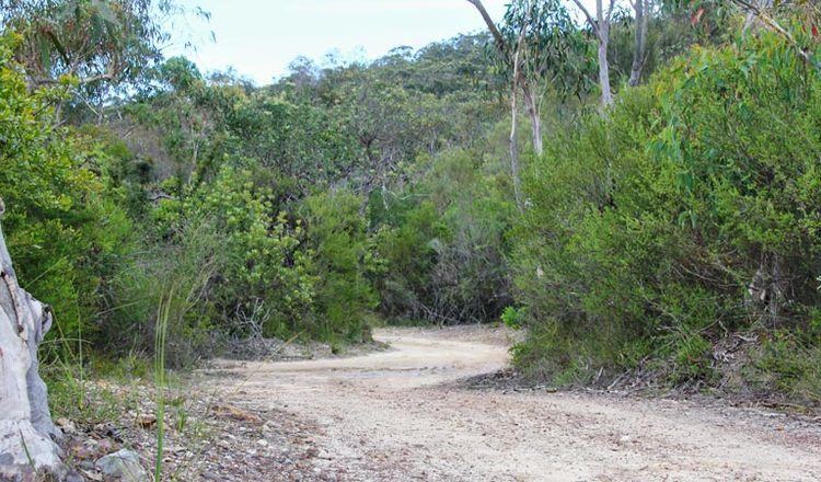
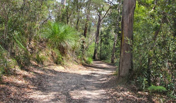
The park trails are popular with bushwalkers and mountain bike riders, particularly between Belrose and St Ives in an area known as Cascades after the Cascades Track that runs through the area. Others trails include the Heath Track and Bare Creek Track.
Echidna in garigal national park sydney
Etymology and indigenous heritage
The word Garigal is a derivation of the word Carigal or Caregal used to describe the indigenous people who lived in Guringai country, translated in modern English as Ku-ring-gai.
The Guringai people are the traditional custodians of the land now reserved as the Garigal National Park and there is considerable evidence of past Aboriginal activity in the area, with over 100 Aboriginal sites recorded to date, including shelters, cave art, rock engravings, middens, grinding grooves and a possible stone arrangement.
Location
Much of the park is bounded by residential development along the ridge tops and it is easily accessible at numerous points by road and water. Several other conservation reserves and areas of bushland are adjacent or close by the Garigal National Park, including the Ku-ring-gai Chase National Park, the Sydney Harbour National Park, the Manly Warringah War Memorial Park (commonly known as the Manly Dam Reserve) and a number of areas of Crown land and other reserves in Warringah, Ku-ring-gai and Willoughby local government areas.
The national park is defined by the following boundaries
Fauna
Garigal National Park is home to a wide range of fauna, including birds, snakes and a wide range of native mammals (such as bandicoots, koalas, wallabies).
There is also a number of introduced pests, including rabbits and foxes.