
Population 7,835 (2011 census) Postcode(s) 2087 Founded 1856 | Established 1856 Postal code 2087 | |
 | ||
Federal divisions | ||
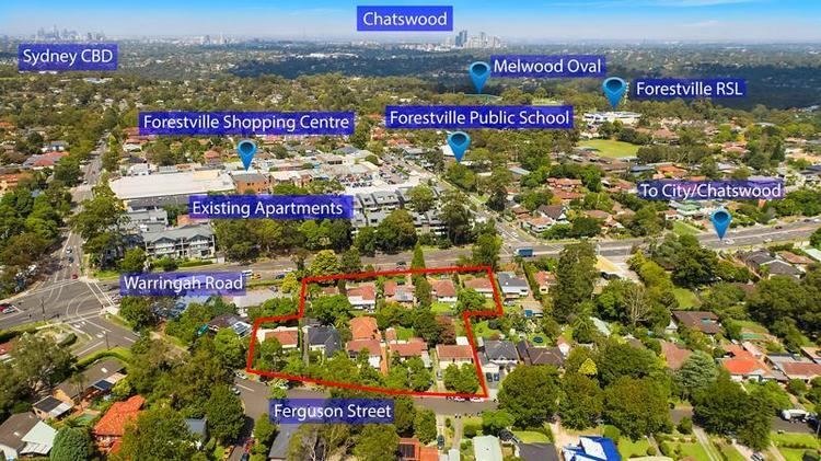
Forestville is a suburb of northern Sydney, in the state of New South Wales, Australia. Forestville is 12 kilometres north-east of the Sydney central business district in the local government area of Northern Beaches Council. Forestville is part of the Northern Beaches region and also considered to be part of the Forest District, colloquially known as The Forest.
Contents
- Map of Forestville NSW 2087 Australia
- Location
- History
- Commercial areas
- Housing
- Schools
- Churches
- Sport and recreation
- Population
- Politics
- References
Map of Forestville NSW 2087, Australia
Location
Forestville's location is at a junction between Sydney's North Shore and Northern Beaches and is often considered to be part of both, with Middle Harbour forming the boundary of this distinction. The suburb is bound to the east and west by bushland of the Garigal National Park and to the south by Middle Harbour.
Flora and fauna thrive in Garigal National Park and nearby Davidson National Park, with the area, along with Frenchs Forest, Belrose and Terrey Hills, receiving some of the highest rainfall in Sydney.
History
Forestville means town in the forest. This area was originally thick wooded forest until James French settled here and began felling timber in 1856 and eventually built a small wharf on Bantry Bay to ship timber to Sydney. French later acquired more land in the adjacent suburb which bears his name, Frenchs Forest. The area was used for so called "soldier settlement" farms after the 2nd world war with very mixed success. Much of the land, particularly toward Killarney Heights was totally unsuitable for any type of farming and was developed as housing land in the early 1960s.
French's Forest Settlement Post Office opened in 1920 and was renamed Forestville in 1947.
Commercial areas
Forestville Village Shops - or The Centre - is the suburb's main shopping centre located on Darley and Starkey Streets with a Coles supermarket and a variety of specialty shops, services and food options.
A few shops are located along Arthur Street, including a cafe.
Forestville is also home to the office and call centre of the NSW Wildlife Information and Rescue Service (WIRES). Cook Street is also home to many DIY shops such as a Mitre 10 (also known by its original name "Eatons") and multiple car service centres.
Housing
Dotted with many parks and reserves and almost completely surrounded by beautiful bushland with lots of native flora and fauna, Forestville is a low density housing area consisting of mostly family homes with medium-sized backyards. The housing style is mixed. Sadly many of the older timber soldiers cottages that were originally built in the 1950s and early 1960s have gradually been replaced by large project homes and smaller townhouse villas. However there is also a trend towards renovating the original cottages or building architect designed houses that sit well in the bushland setting. It's this organic approach to housing development by Warringah council and the wider Forestville community that has allowed Forestville and the surrounding neighbourhoods like Killarney Heights and Frenchs Forest to grow and expand yet still maintain their unique bushland identity and local character.
Schools
There are three primary schools in Forestville, Our Lady of Good Counsel, Forestville Montessori School and Forestville Public School. The nearest high school is Killarney Heights High School and other high schools nearby are The Forest High School in Frenchs Forest and Davidson High School in Frenchs Forest. There is also the Aspect Vern Barnett School for children with autism spectrum disorder.
Churches
There are a number of churches in Forestville:
Sport and recreation
Sporting facilities in Forestville include sporting fields, tennis and netball courts which local teams such as Forest Killarney Soccer Club, Forest Netball Club, Forest Rugby Club and the Forestville Ferrets Junior Rugby League Football Club call home ground. There is a Returned Services League Centre nearby called The Forest Club.
Population
At the 2011 census, there were 7,835 residents in Forestville. The median age of 41 was higher than the national median of 37, and 20.8% of the population were aged 65 years and over. The most common ancestries in Forestville were English 26.9%, Australian 22.8% and Irish 7.9%.
Politics
Following a redistribution in December 2009, Forestville residents may be allocated to one of two Federal electorates. This could be either the Division of Warringah or the Division of Mackellar, both of which are safe Liberal Party seats. Forestville is home to the Federal MP for Warringah, and former Prime Minister Tony Abbott.