
Time zone EET (UTC+2) Area 111.2 km² Population 45,956 (2010) | Elevation 330 m (1,080 ft) Postal code 133 xx Local time Saturday 10:41 PM Area code 210 | |
 | ||
Weather 9°C, Wind S at 10 km/h, 77% Humidity | ||
Fyli (Greek: Φυλή meaning "Tribe") is a town and a municipality in the northwestern part of Attica, Greece. It lies in the northeastern corner of the West Attica regional unit, and is a suburb of Athens. The seat of the municipality is the town Ano Liosia.
Contents
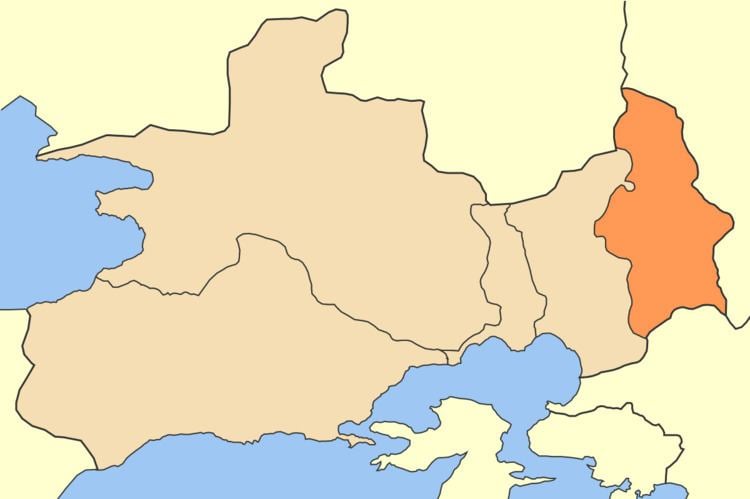
Map of Fyli, Greece
Municipality
The municipality Fyli was formed at the 2011 local government reform by the merger of the following 3 former municipalities, that became municipal units:
The municipality has an area of 109.128 km2, the municipal unit 69.281 km2.
Geography
Fyli is situated in the southern foothills of the mountains of Parnitha, and northeast of the plain of Eleusis. It is 4 km northeast of Ano Liosia, 8 km northeast of Aspropyrgos and 14 km northwest of Athens city centre. Motorway 6 passes south of the town.
History
A group of exiles from Athens, led by Thrasybulus, seized Phyle in the 404 BC Battle of Phyle. They went on to defeat the Spartan garrison at the Battle of Munichia near Piraeus.
Fyli suffered some damage from the 2007 Greek forest fires.