Time zone EET (UTC+2) Vehicle registration Z Area code 210 | Elevation 150 m (490 ft) Postal code 134 51 Local time Sunday 12:29 PM | |
 | ||
Weather 20°C, Wind S at 8 km/h, 21% Humidity | ||
Zefyri
Zefyri (Greek: Ζεφύρι) is a suburban town and former municipality in West Attica, Greece. Since the 2011 local government reform it is part of the municipality Fyli, of which it is a municipal unit. The municipal unit has an area of 1.400 km2.
Contents
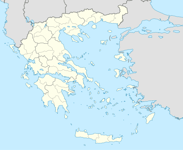
Map of Zefyri, Greece
Zefyri is situated near the northeastern end of the Aigaleo mountains. Its built-up area is continuous with those of the neighbouring suburbs Ano Liosia, Acharnes and Kamatero. The Motorway 6 passes through Zefyri, by the 440 m cut and cover Zefyri Tunnel. Zefyri is 2 km southeast of Ano Liosia, 2 km southwest of Acharnes and about 10 km north of Athens city centre. The old metric Piraeus–Patras railway and the new Athens Airport–Kiato railway pass through Zefyri.
The earthquake of 7 September 1999 damaged some tens of homes.
