
Time zone EET (UTC+2) Vehicle registration Z Area code 210 | Elevation 160 m (520 ft) Postal code 133 xx Website www.liosia.gr Local time Sunday 4:25 AM | |
 | ||
Weather 12°C, Wind NE at 0 km/h, 79% Humidity | ||
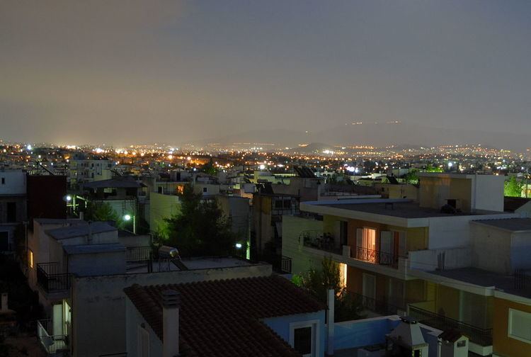
Ano Liosia (Greek: Άνω Λιόσια) is a suburb and a former municipality in the northern part of the Athens agglomeration, Greece. Since the 2011 local government reform it is part of the municipality Fyli, of which it is the seat and a municipal unit. The municipal unit has an area of 38.447 km2.
Contents
Map of Ano Liosia, Greece
Geography
Ano Liosia lies in the eastern part of West Attica, between the mountains Parnitha to its north and Aigaleo to its southwest. It is 3 km west of Acharnes, 3 km north of Kamatero, 4 km southeast of Fyli, 10 km east of Aspropyrgos and 11 km north of Athens city centre.
Transportation
The Ano Liosia railway station is served by Proastiakos trains to the Athens International Airport and to Kiato in the Peloponnese. The railway station on the old metric Piraeus–Patras railway is now closed. Ano Liosia is connected to the rest of Athens by various bus lines, most notably the B12 and E42 lines. Motorway 6 runs south of the town.
History
On September 7, 1999, the 1999 Athens earthquake damaged between one hundred and a thousand homes. The 2007 Greek forest fires devastated the nearby forests. A remarkable number of Romani live in the area.
Sports
The 11th International Chess Tournament took place in Ano Liosia in 2001. The following sports teams are based in Ano Liosia:
Sports venues: