
Postal code 193 00 Website www.aspropyrgos.gr Area 102 km² Area code 210 | Time zone EET (UTC+2) Vehicle registration Z Elevation 9 m Local time Monday 12:20 AM | |
 | ||
Weather 13°C, Wind NE at 0 km/h, 89% Humidity | ||
Aspropyrgos (Greek: Ασπρόπυργος) is a suburb of Athens, and a municipality in the West Attica regional unit, Attica, Greece. The municipality had a population of 30,251 at the 2011 census. It has an area of 101.983 km2.
Contents
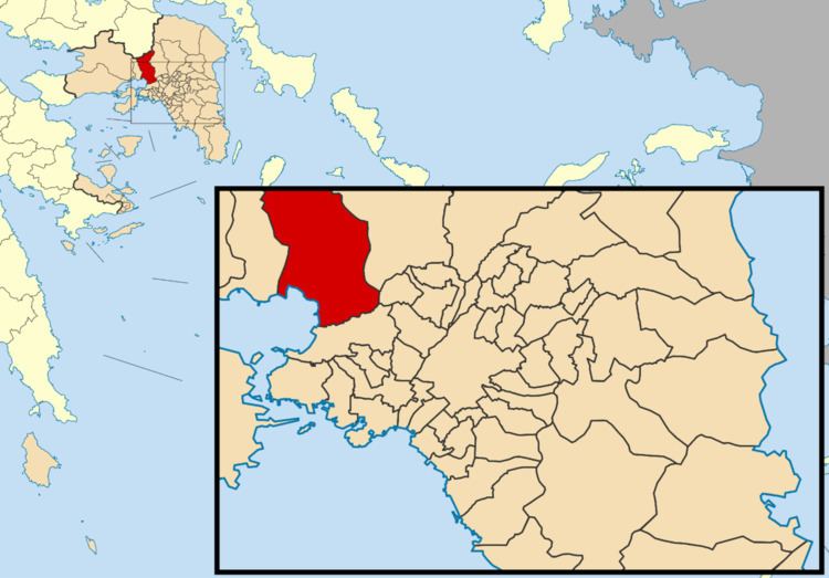
Map of Aspropyrgos 193 00, Greece
Etymology
The name 'Aspropyrgos' is derived from the Greek words άσπρο, meaning 'white', and πύργος, meaning 'castle' or 'tower'.
Geography
Aspropyrgos is located 15 km northwest of the city center of Athens in the Thriasian Plain. It is 5 km northeast of Eleusis, near the Saronic Gulf coast. Mount Parnitha forms its northern border, and the Aigaleo hills its southeastern border. The Eleusis Military Airbase lies to its west. The main street is Dimokratias ('Democracy') Avenue. Aspropyrgos can be accessed from the Motorway 6 (Eleusis - Athens) and the Motorway 65 (Ano Liosia - Aspropyrgos). The industrial area is in the southeastern part of Aspropyrgos. The Aspropyrgos railway station is served by Proastiakos trains from the Athens International Airport to Kiato (Peloponnese).
Industry
The Aspropyrgos Refinery, south of the city, has been producing oil for many years. It is the largest in Greece, with an annual capacity of 135,000 bbl/d (21,500 m3/d). As a consequence, pollution has been a problem for years. The refinery includes depots in the southern and eastern parts, and some in the western part and at a dock to the southwest.