
Country United States Elevation 253 m Local time Thursday 7:39 AM | GNIS feature ID 0453303 Area 90.42 km² Population 4,104 (2010) | |
 | ||
Weather -8°C, Wind W at 3 km/h, 73% Humidity | ||
Franklin Township is one of twelve townships in Harrison County, Indiana, United States. As of the 2010 census, its population was 4,104 and it contained 1,676 housing units.
Contents
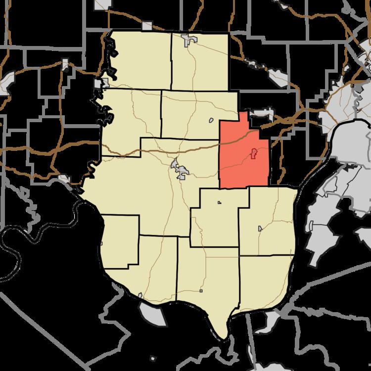
- Map of Franklin Township IN USA
- Geography
- Cities and towns
- Unincorporated towns
- Adjacent townships
- Cemeteries
- Major highways
- Airports and landing strips
- References
Map of Franklin Township, IN, USA
Geography
According to the 2010 census, the township has a total area of 34.91 square miles (90.4 km2), of which 34.89 square miles (90.4 km2) (or 99.94%) is land and 0.02 square miles (0.052 km2) (or 0.06%) is water. The streams of Lazy Creek, Little Indian Creek, Smith Creek and Woertz Creek run through this township.
Cities and towns
Unincorporated towns
(This list is based on USGS data and may include former settlements.)
Adjacent townships
Cemeteries
The township contains one cemetery, Lanesville.
Major highways
Airports and landing strips
References
Franklin Township, Harrison County, Indiana Wikipedia(Text) CC BY-SA