
The France–Spain border was formally defined in 1659. It separates the two countries from Hendaye and Irun in the west, running through the Pyrenees to Cerberus and Portbou on the Mediterranean.
Contents
- Main border
- Llvia
- Pheasant Island
- Background
- Bayonne Treaties
- Subsequent amendments
- Marking off
- Major crossings
- References
Main border
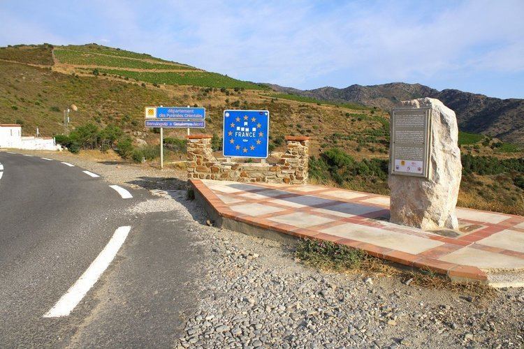
The Franco-Spanish border runs for 656.3 kilometres (407.8 mi) between southwestern France and northeastern Spain. It begins in the west on the Bay of Biscay at the French city of Hendaye and the Spanish city of Irun (43°22′32″N 01°47′31″W). The border continues eastward along the Pyrenees to Andorra (42°36′13″N 1°26′30″E). At this point, the small country interrupts the border between Spain and France for 63.7 km on the Spanish side and 56 km on the French side. Then it continues eastward (42°30′09″N 01°43′34″E) to the Mediterranean Sea at Cerbère in France and Portbou in Spain (42°26′09″N 03°10′26″E).
From west to east, crossing the border:
Llívia
Spain has an exclave in France, Llívia, in the Pyrénées-Orientales.
Pheasant Island
Shortly after the start of the western border, following the course of Bidasoa River, Pheasant Island located in the middle of the river has a particular border regime: the island is a condominium whose sovereignty is shared between the two countries.
Background
The formal layout of the Franco-Spanish border dates back to the signing of the Treaty of the Pyrenees between the kingdoms of Spain and France in 1659. This would be followed by the Treaty of Llivia the following year, which transferred to France the sovereignty of several villages in the valley of Querol.
Later there would be some agreements on specific areas: the agreement signed in Perpignan in 1764, which established the boundaries between Ampurdán and Coll Pertús and the Elizondo Treaty in 1785 establishing limits on the height of Aldudes is demarcated and Valcarlos.
Bayonne Treaties
The final definition, that for the most part still in force, was conducted with the signing of the Bayonne Treaties between 1856 and 1868. During the mandates of the Queen of Spain Isabel II and French emperor Napoleon III between the two countries were signed several agreements by which the border was established:
Subsequent amendments
Later both countries concluded agreements under the same point. In 1980 an agreement was signed to define the border into the Bielsa-Aragnouet tunnel, and 1984, during the construction of the road linking the Roncal Valley with Arette, it was agreed a mutual transfer of land of 2710 m².
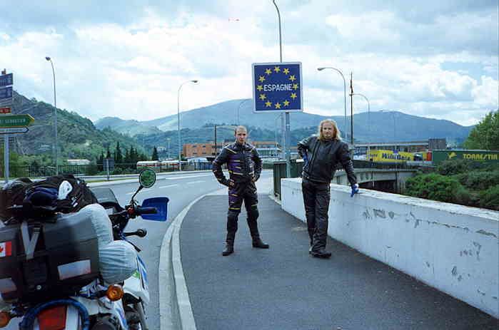
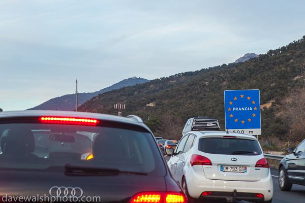
In 1995, with the entry into force of Schengen Agreement, border controls for people and goods were abolished, thus ensuring freedom of movement across the border.
Marking off
Following the provisions of the treaties of Bayonne, the border is physically marked on the ground by 602 cairns showing the division between the two countries. These markers are numbered from west to east: one located on the Bidasoa and the last in Cap Cerbere, marked with consecutive numbers and letters.
Another 45 cairns mark the border around Llivia; they are numbered anticlockwise from the number 1 at the entrance of the French road RD-68 in the enclave. Maintaining this signaling runs either on behalf of both states.