
Elevation 1,794 m | ||
 | ||
Similar Pic du Midi d'Ossau, Ossau Valley, Somport, Col d'Aubisque, Col de Marie‑Blanque | ||
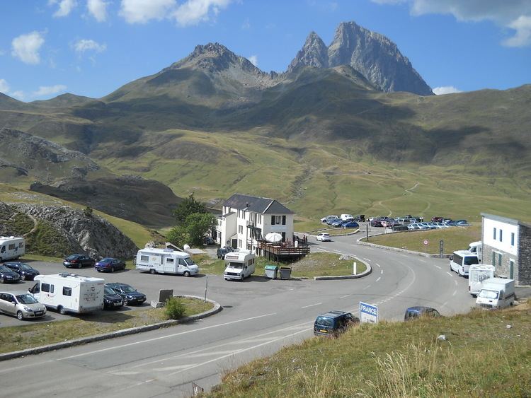
The Col du Pourtalet, El Portalet or Portalet d'Aneu is a mountain pass and border crossing in the Pyrenees, between France and Spain. The pass reaches an elevation of 1,794 m (5,886 ft), and links the Ossau and Tena valleys.
Map of Col de Pourtalet, 22640 Laruns, France
The road across the pass is known as the A-136 on the Spanish side, and links to Biescas and Huesca. On the French side the D934 road connects the pass to the towns of Laruns, Oloron-Sainte-Marie and Pau. The pass is usually closed by snow from late October to late May.
The French side of the pass falls within the commune of Laruns in the département of Pyrénées-Atlantiques, whilst the Spanish side is within the municipality of Sallent de Gállego within the province of Huesca.
References
Col du Pourtalet Wikipedia(Text) CC BY-SA