
Country United States ZIP codes 51334, 51360, 51363 Elevation 426 m Local time Friday 7:08 PM | Time zone CST (UTC-6) GNIS feature ID 0468770 Area 74.2 km² Population 300 (2000) | |
 | ||
Weather 7°C, Wind NE at 16 km/h, 69% Humidity | ||
Superior Township is one of twelve townships in Dickinson County, Iowa, USA. As of the 2000 census, its population was 300.
Contents
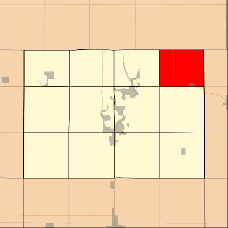
- Map of Superior IA USA
- History
- Geography
- Cities towns villages
- Adjacent townships
- Cemeteries
- Major highways
- Lakes
- School districts
- Political districts
- References
Map of Superior, IA, USA
History
Superior Township was formed in 1872.
Geography
According to the United States Census Bureau, Superior Township covers an area of 28.65 square miles (74.2 square kilometers); of this, 28.13 square miles (72.87 square kilometers, 98.21 percent) is land and 0.52 square miles (1.34 square kilometers, 1.81 percent) is water.
Cities, towns, villages
Adjacent townships
Cemeteries
The township contains Superior Township Cemetery.
Major highways
Lakes
School districts
Political districts
References
Superior Township, Dickinson County, Iowa Wikipedia(Text) CC BY-SA