
Country United States GNIS feature ID 0453202 Area 94.04 km² Population 1,841 (2010) | ZIP codes 46172, 47954, 47968 Elevation 267 m Local time Monday 10:15 AM | |
 | ||
Weather 10°C, Wind S at 21 km/h, 93% Humidity | ||
Clark Township is one of eleven townships in Montgomery County, Indiana, United States. As of the 2010 census, its population was 1,841 and it contained 812 housing units.
Contents
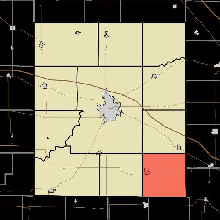
- Map of Clark Township IN USA
- Geography
- Cities towns villages
- Cemeteries
- Major highways
- Lakes
- School districts
- Political districts
- References
Map of Clark Township, IN, USA
Clark Township was founded in 1830.
Geography
According to the 2010 census, the township has a total area of 36.31 square miles (94.0 km2), of which 36.29 square miles (94.0 km2) (or 99.94%) is land and 0.02 square miles (0.052 km2) (or 0.06%) is water.
Cities, towns, villages
Cemeteries
The township contains these six cemeteries: Harshbarger, Hicks, Inlow, Mount Pleasant, Stoner and Wesley.
Major highways
Lakes
School districts
Political districts
References
Clark Township, Montgomery County, Indiana Wikipedia(Text) CC BY-SA