
 | ||
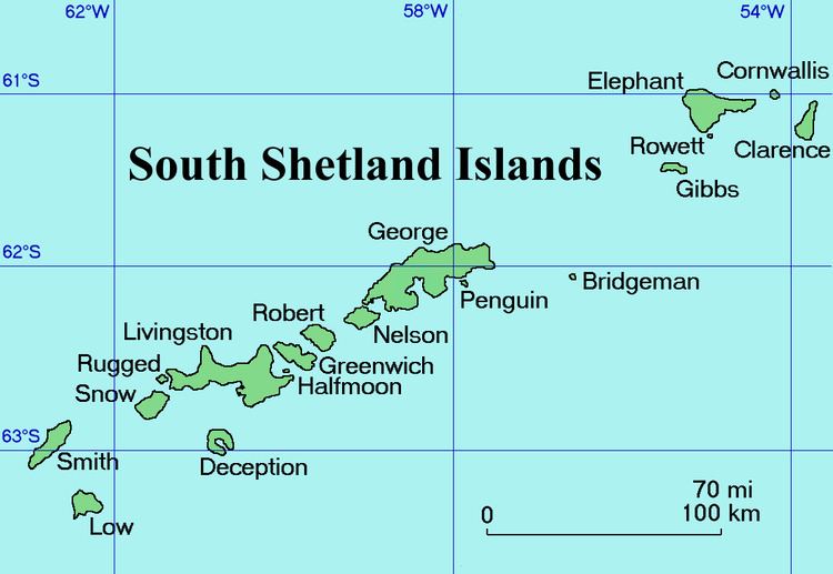
Duclos-Guyot Bluff (Bulgarian: връх Дюкло Гийо, ‘Vrah Duclos-Guyot’ \'vrah dyu-'klo gi-'yo) is the ice-covered peak rising to 1800 m at the south extremity of Urda Ridge on Clarence Island in the South Shetland Islands, Antarctica. It has precipitous and partly ice-free south slopes, and surmounts Skaplizo Glacier to the west and Dobrodan Glacier to the northeast.
Contents
The peak is named after the French mariner Nicolas-Pierre Duclos-Guyot (1722-1794), second in command under Louis Antoine de Bougainville in the first French circumnavigation of the world, who sailed in Antarctic waters on board the Spanish ship León in 1756.
Location
Duclos-Guyot Bluff is located at 61°17′58″S 54°07′28″W, which is 2.9 km northwest of Cape Bowles, 5.6 km east of Craggy Point and 2.4 km south of Mount Irving. British mapping in 1972 and 2009.