
- elevation 520 m (1,706 ft) | - elevation 1,400 m (4,593 ft) Length 14 km | |
 | ||
Similar Bonang River, Caledonia River, Cumberland River, Glenmaggie Dam, Wongungarra River | ||
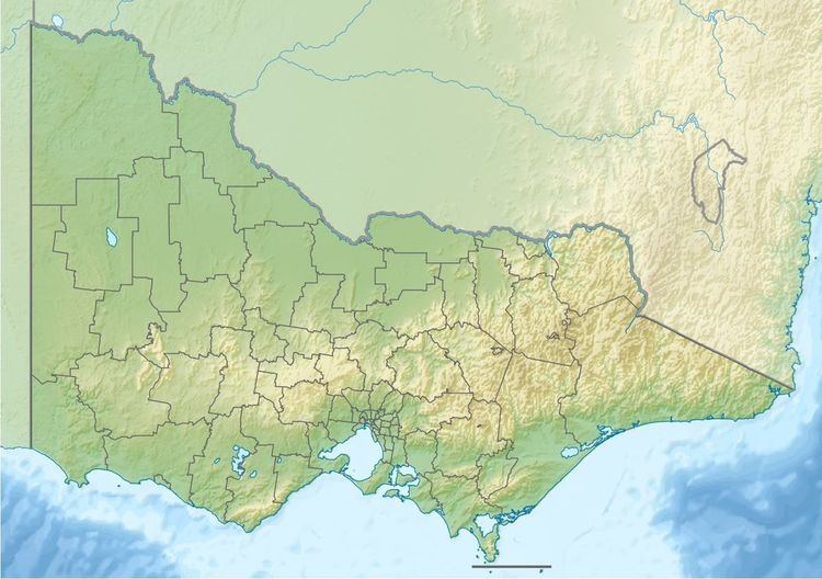
The Dry River is a perennial river of the Mitchell River catchment, located in the Alpine region of the Australian state of Victoria.
Features and location
The Dry River rises below Minogues Lookout, part of the Great Dividing Range, approximately midway between Eildon and Omeo in the Alpine National Park. The river flows generally north by east, before reaching its confluence with the Wonnangatta River, southwest of Mount Selwyn, in the Shire of Wellington. The river descends 885 metres (2,904 ft) over its 14-kilometre (8.7 mi) course.
References
Dry River (Victoria) Wikipedia(Text) CC BY-SA