
Postal index 56400—56470 Population 25,555 (2015) Area code 5152 | Established 1924 Time zone EET (UTC+2) Area 1,458 km² | |
 | ||
Subdivisions List 0 — city councils 1 — settlement councils13 — rural councilsNumber of localities: 0 — cities 1 — urban-type settlements61 — villages 0 — rural settlements | ||
Domanivka Raion (Ukrainian: Доманівський район) is located in Mykolaiv Oblast of Ukraine. Its administrative center is the urban-type settlement of Domanivka. Population: 25,555 (2015 est.)
Contents
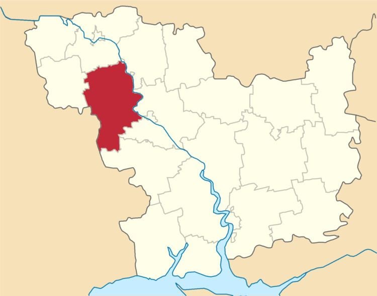
Map of Domanivs'kyi district, Mykolaivs'ka oblast, Ukraine
History
In the 1920s, the current area of the district belonged to Odessa Governorate. In 1923, uyezds in Ukrainian Soviet Socialist Republic were abolished, and the governorates were divided into okruhas. In 1923, Kantakuzynka Raion with the administrative center in the selo of Kantakuzynka was established. It belonged to Pervomaisk Okruha. In 1925, the governorates were abolished, and okruhas were directly subordinated to Ukrainian SSR. On 3 February 1926, Katakuzynka Raion was renamed Domanivka Raion, and the center was moved to Domanivka. In 1930, okruhas were abolished, and on 27 February 1932, Odessa Oblast was established, and Domanivka Raion was included into Odessa Oblast. In February 1954, Domanivka Raion was transferred to Mykolaiv Oblast.