
Area 4.07 km² Local time Thursday 9:22 PM | Time zone EET (UTC+2) Population 6,125 (2015) | |
 | ||
Weather 6°C, Wind E at 8 km/h, 84% Humidity | ||
Domanivka (Ukrainian: Доманівка, Russian: Доманёвка) is an urban-type settlement in the west of Mykolaiv Oblast, Ukraine. It serves as the administrative center of Domanivka Raion. Population: 6,125 (2015 est.)
Contents
Map of Domanivka, Mykolaivs'ka oblast, Ukraine
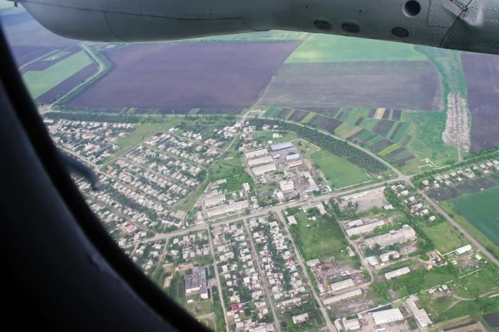
Domanivka is located on the banks of the Chortala River, a left tributary of the Southern Bug.
History
On 16 April 1920, Odessa Governorate was established. Domanivka was the center of Domanivskaya Volost and belonged to Voznesensky Uyezd of Kherson Governorate. In 1923, uyezds in Ukrainian Soviet Socialist Republic were abolished, and the governorates were divided into okruhas. In 1923, Kantakuzynka Raion with the administrative center in the selo of Kantakuzynka was established, and Domanivka became the part of the raion. It belonged to Pervomaisk Okruha. In 1925, the governorates were abolished, and okruhas were directly subordinated to Ukrainian SSR. On 3 February 1926, Katakuzynka Raion was renamed Domanivka Raion, and the center was moved to Domanivka. In 1930, okruhas were abolished, and on 27 February 1932, Odessa Oblast was established, and Domanivka Raion was included into Odessa Oblast. During World War II, the local Jewish population was murdered In February 1954, Domanivka Raion was transferred to Mykolaiv Oblast. In 1956, Domanivka was granted urban-type settlement status.
Transportation
The closest railway station, 24 kilometres (15 mi) east of the settlement, is in Voznesensk, on the railway line connecting Odessa and Pomichna.