
Country Canada Population 1.203 million (2011) | Area 15,768 km² | |
 | ||
Points of interest Elk Island National Park, West Edmonton Mall, Muttart Conservatory, Fort Edmonton Park, Art Gallery of Alberta Colleges and Universities University of Alberta, Northern Alberta Institute o, MacEwan University, CDI College, NorQuest College | ||
Division No. 11 is a census division in Alberta, Canada. Surrounding the City of Edmonton, the majority of the division comprises Alberta's Capital Region, while the western and southern portions of the division are located within central Alberta. The division also forms the northern segment of the Calgary–Edmonton Corridor.
Contents
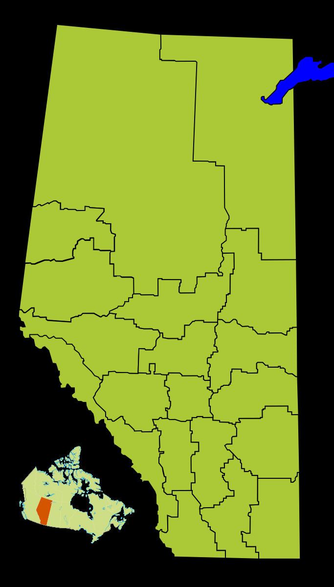
Map of Division No. 11, AB, Canada
Census subdivisions
The following census subdivisions (municipalities or municipal equivalents) are located within Alberta's Division No. 11.
Demographics
In the 2011 Census, Division No. 11 had a population of 1,203,115 living in 467,064 of its 500,940 total dwellings, an 11.8% change from its 2006 population of 1,076,103. With a land area of 15,768 km2 (6,088 sq mi), it had a population density of 76.3 people per square kilometre in 2011.
In 2006, Division No. 11 had a population of 1,076,103 living in 443,275 dwellings, a 10.3% increase from 2001. The census division has a land area of 15,754.26 km2 (6,082.75 sq mi) and a population density of 68.3 inhabitants per square kilometre.