
Country Canada Highways 39770 Population 766 (2016) Province Alberta | Census Division 11 Time zone MST (UTC-7) Elevation 820 m Mayor Ralph Van Assen | |
 | ||
Region Edmonton Capital Region Weather 6°C, Wind SE at 14 km/h, 60% Humidity | ||
Warburg is a village in central Alberta, Canada. It is located 58 km west of the city of Leduc, along Highway 39.
Contents
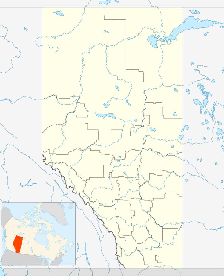
Map of Warburg, AB, Canada
Demographics
In the 2016 Census of Population conducted by Statistics Canada, the Village of Warburg recorded a population of 766 living in 302 of its 335 total private dwellings, a −2.9% change from its 2011 population of 789. With a land area of 2.68 km2 (1.03 sq mi), it had a population density of 285.8/km2 (740.3/sq mi) in 2016.
In the 2011 Census, the Village of Warburg had a population of 789 living in 308 of its 337 total dwellings, a 27.1% change from its 2006 population of 621. With a land area of 2.7 km2 (1.0 sq mi), it had a population density of 292.2/km2 (756.9/sq mi) in 2011.
The population of the Village of Warburg according to its 2009 municipal census is 696.
In 2006, Warburg had a population of 621 living in 253 dwellings, a 10.9% increase from 2001. The village has a land area of 2.08 km2 (0.80 sq mi) and a population density of 299.2/km2 (775/sq mi).
Economy
The village of Warburg is a member of the Leduc-Nisku Economic Development Association, an economic development partnership that markets Alberta's International Region in proximity to the Edmonton International Airport.