Country Canada Time zone MST (UTC-7) Waterways Weed Creek Population 985 (2016) Province Alberta | Highways 39778 Elevation 745 m Local time Thursday 9:14 PM Waterway Weed Creek | |
 | ||
Region Edmonton Capital Region Weather 2°C, Wind S at 3 km/h, 89% Humidity | ||
National heritage site rundle mission near thorsby alberta
Thorsby is a town in central Alberta, Canada. It is located 38 km (24 mi) west of the City of Leduc, along Highway 39. Pigeon Lake and Pigeon Lake Provincial Park are located 20 km (12 mi) south of the community.
Contents
- National heritage site rundle mission near thorsby alberta
- Map of Thorsby AB Canada
- 4801 50 ave thorsby alberta virtual tour
- Demographics
- Economy
- References
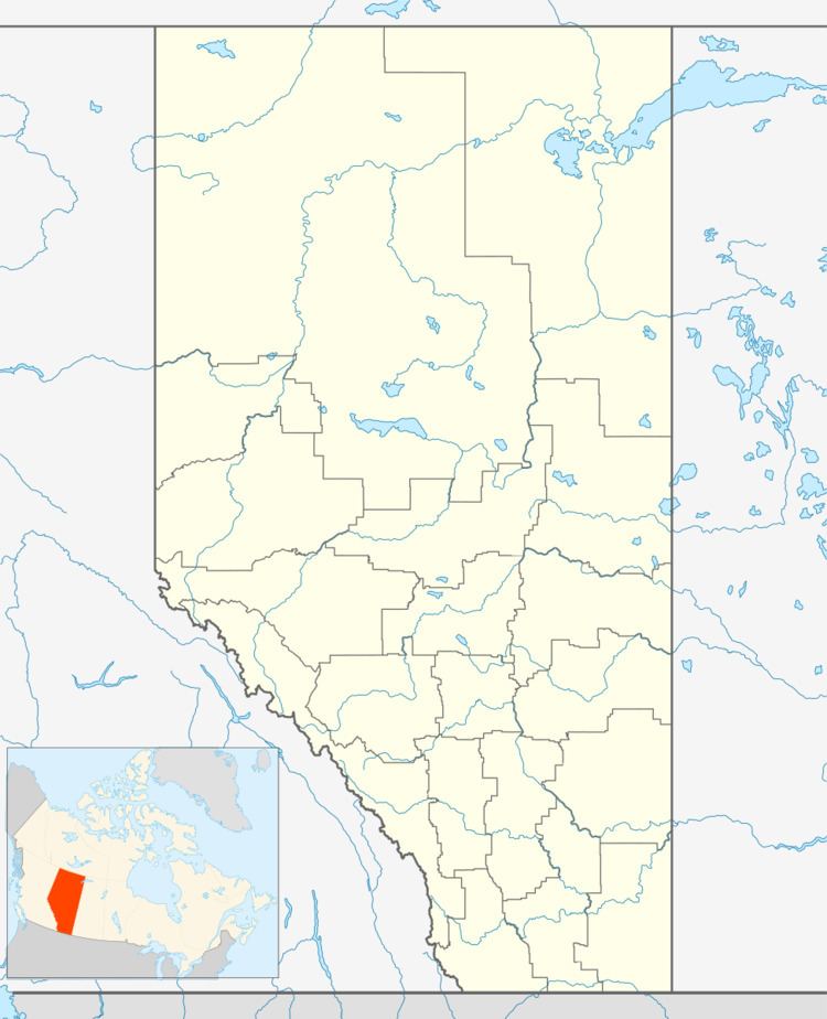
Map of Thorsby, AB, Canada
4801 50 ave thorsby alberta virtual tour
Demographics
In the 2016 Census of Population conducted by Statistics Canada, the Town of Thorsby recorded a population of 985 living in 394 of its 428 total private dwellings, a 3.6% change from its 2011 population of 951. With a land area of 3.85 km2 (1.49 sq mi), it had a population density of 255.8/km2 (662.6/sq mi) in 2016.
The population of the Town of Thorsby according to its 2015 municipal census is 1,025, a 8% change from its 2012 municipal census population of 947.
In the 2011 Census, Statistics Canada originally reported that Thorsby had a population of 797 living in 334 of its 373 total dwellings, a -15.7% change from its 2006 population of 945. Statistics Canada subsequently amended the 2011 census results to a population of 951 living in 394 of its 436 total dwellings, a 0.6% change from 2006. With a land area of 3.87 km2 (1.49 sq mi), it had a population density of 245.7/km2 (636.5/sq mi) in 2011.
Economy
The Town of Thorsby is a member of the Leduc-Nisku Economic Development Association, an economic development partnership that markets Alberta's International Region in proximity to the Edmonton International Airport.
