
Country Canada Census division No. 11 Municipal district July 1, 1988 Area 3,021 km² Phone +1 780-542-7777 | Improvement district December 31, 1987 Name change October 1, 2002 Population 7,771 (2016) Province Alberta | |
 | ||
Hours Open today · 8AM–5PMThursday8AM–5PMFriday8AM–5PMSaturdayClosedSundayClosedMonday8AM–5PMTuesday8AM–5PMWednesday8AM–5PM Profiles | ||
Drayton valley brazeau county outdoor rink intro video
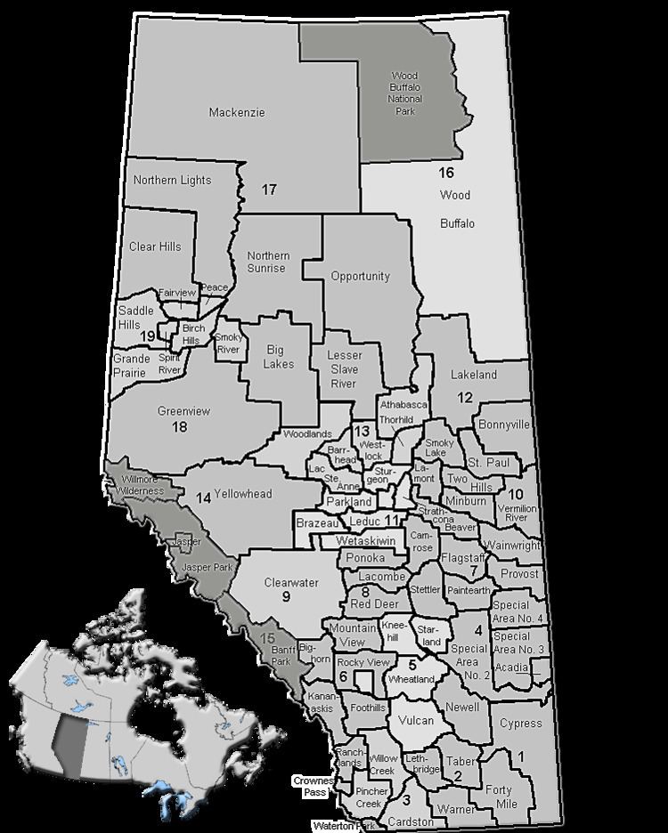
Brazeau County is a municipal district in central Alberta, Canada. It is located in Census Division 11. The municipal district was incorporated on July 1, 1988 from Improvement District No. 222. On October 1, 2002, the name was changed from Municipal District of Brazeau No. 77 to Brazeau County.
Contents
It is named for the Brazeau River, in turn named for Joseph Brazeau, a linguist associated with the Palliser Expedition.
History
Brazeau County encompasses an area that was originally under the jurisdiction of three neighbouring municipalities. In the mid-1980s, residents of the southwest portion of Parkland County and the west portion of Leduc County were growing weary of perceived poor service provision as a result of being located significant distances from their municipal headquarters in Stony Plain and Leduc respectively. After much lobbying and petitions over approximately five years, lands were severed from Parkland County and Leduc County, as well as a small portion of Yellowhead County to the west, to create Improvement District No. 222 on December 31, 1987, which incorporated as the Municipal District of Brazeau No. 77 six months later on July 1, 1988. The municipality subsequently changed its name to Brazeau County on October 1, 2002.
Demographics
In the 2016 Census of Population conducted by Statistics Canada, Brazeau County recorded a population of 7,771 living in 2,930 of its 3,194 total private dwellings, a 7000900000000000000♠9% change from its 2011 population of 7,132. With a land area of 3,005.35 km2 (1,160.37 sq mi), it had a population density of 2.6/km2 (6.7/sq mi) in 2016.
In the 2011 Census, Brazeau County had a population of 7,201 living in 2,693 of its 2,852 total dwellings, a 2.3% change from its 2006 population of 7,040. With a land area of 3,020.71 km2 (1,166.30 sq mi), it had a population density of 2.4/km2 (6.2/sq mi) in 2011. Following Drayton Valley’s 2011 and 2012 annexations, Statistics Canada adjusted Brazeau County's 2011 population downward by 69 people to 7,132.
In 2006, Brazeau County had a population of 7,040 living in 2,774 dwellings, a 6.6% increase from 2001. The municipal district has a land area of 3,015.83 km2 (1,164.42 sq mi) and a population density of 2.3/km2 (6.0/sq mi).
In 2001, the municipal district has a population of 6,895 in 2,596 dwellings, a 2.3% increase from 1996. On a surface of 3,019.74 km² it has a density of 2.3 inhabitants/km².