
Country Canada - Municipal district 1943 Time zone MST (UTC-7) Population 98,044 (2016) | - Specialized municipality January 1, 1996 Area 1,181 km² | |
 | ||
Region Edmonton Capital Region | ||
Strathcona county attractions
Strathcona County is a specialized municipality in central Alberta, Canada between Edmonton and Elk Island National Park.
Contents
- Strathcona county attractions
- Map of Strathcona County AB Canada
- Great places in canada nomination strathcona county
- History
- Demographics
- Communities and localities
- Government
- References
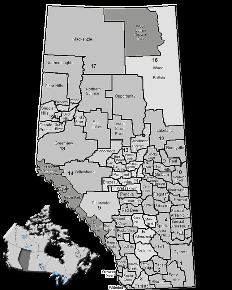
Map of Strathcona County, AB, Canada
It is located in Division No. 11 and is also part of the Edmonton Census Metropolitan Area. More than half of the population lives in Sherwood Park, a large community east of Edmonton that has opted to retain hamlet status. Strathcona County was designated as a specialized municipality on January 1, 1996, in order to accommodate the specific needs of an area that includes both urban and rural territory.
Great places in canada nomination strathcona county
History
First officially recognized in 1893 by the territorial legislature (it was then part of the North West Territories) as Statute Labour District #2, Strathcona County has changed immensely since its inception. In 1913 Statute Labour District #2 was renamed to Local Improvement District #517 (Clover Bar), which then, in 1943, merged with Local Improvement District #518 (Strathcona) to become Municipal District #83 (Strathcona). By joining with local school divisions in 1962, Municipal District #83 officially became a county. County status was subsequently revoked in 1995 when the County Act was repealed by the provincial legislature, but was quickly returned in 1996 when the County of Strathcona #20 officially changed its name to Strathcona County and received Specialized Municipality status.
On March 29, 2007, Strathcona County announced plans to create an entirely new urban community from scratch to complement Sherwood Park. This development is supposed to be more dense and pedestrian friendly, and could hold up to 200,000 people. However, opponents have pointed out that the development will destroy land of high agricultural value.
Demographics
In the 2016 Census of Population conducted by Statistics Canada, Strathcona County recorded a population of 98,044 living in 35,567 of its 36,354 total private dwellings, a change of 7000600000000000000♠6% from its 2011 population of 92,490. With a land area of 1,182.78 km2 (456.67 sq mi), it had a population density of 82.9/km2 (214.7/sq mi) in 2016.
The population of Strathcona County according to its 2015 municipal census is 95,597, a change of 7000350000000000000♠3.5% from its 2012 municipal census population of 92,403.
In the 2011 Census, Strathcona County had a population of 92,490 living in 33,129 of its 34,136 total dwellings, a change of 12.1% from its 2006 population of 82,511. With a land area of 1,180.56 km2 (455.82 sq mi), it had a population density of 78.3/km2 (202.9/sq mi) in 2011.
Communities and localities
The following localities are located within Strathcona County.
Government
Unlike most Albertan municipal districts, where council appoints a reeve, Strathcona County elects a mayor. Roxanne Carr was elected in 2013.