
Population 5,087 (2015 est) Mayor Julie Low Founded 1880 | Established 1880 Region Eyre and Western Area 4,771 km² | |
 | ||
Points of interest Lincoln National Park, Almonta Beach | ||
The District Council of Lower Eyre Peninsula is a local government area located on Eyre Peninsula in South Australia. The district covers the southern tip of the peninsula, except for the small area taken up by the City of Port Lincoln.
Contents
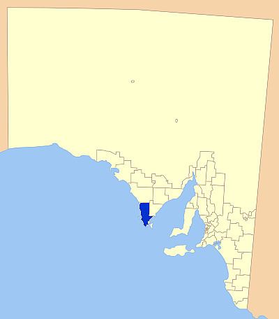
Map of DC of Lower Eyre Peninsula, SA, Australia
The main council offices are in Cummins, with a branch office in Port Lincoln, even though Port Lincoln is actually in its own council area, not encompassed by the council.
History
The District Council of Lower Eyre Peninsula traces its history back to 1880, when a district council was created for the Port Lincoln area; it first met at the Pier Hotel in July of that year. The new district council was variously referred to as "Port Lincoln" or "Lincoln" in newspapers, but is referred to in the landmark District Councils Act 1887, which initiated widespread local government reform, as the existing District Council of Lincoln. The boundaries of the district were extended when that act came into effect in 1888, and again in 1890, when it gained the hundreds of Kiana, Mitchell and Shannon.
In 1906, an area in the north of the district was removed to form the new District Council of Tumby Bay, and in 1921, Port Lincoln itself was severed to create the Corporate Town of Port Lincoln. The district regained an area from the Corporate Town in 1935, and in 1936 the District Council of Lincoln controlled thirteen hundreds, amounting to approximately 1,300,000 acres; its population in that year was estimated at 1,486. The district boundaries underwent further alterations in 1981 and 1982. In 1988, it assumed its current name when the District Council of Lincoln was renamed the District Council of Lower Eyre Peninsula.
The area's economy is reliant mostly on agriculture, with cereal crops and sheep being prominent in the district, as in much of the Eyre Peninsula. Fishing and aquaculture are a large part of the economy also, with Coffin Bay Oysters gaining statewide recognition.
The district, particularly coastal towns such as Coffin Bay are ever popular with tourists, with fishing and a variety of other water based activities a major attraction. The Coffin Bay National Park is also a major attraction, as well as an area of natural habitat conservation.
Localities
The district has two major towns; Cummins and Coffin Bay, but the district covers a large area, including a large number of rural localities: Boston, Charlton Gully, Coomunga, Coulta, Duck Ponds, Edillilie, Farm Beach, Fountain, Green Patch, Hawson, Kapinnie, Karkoo, Kellidie Bay, Kiana, Lincoln National Park, Little Douglas, Louth Bay, Mitchell, Mount Drummond, Mount Dutton Bay, Mount Hope, North Shields, Pearlah, Point Boston, Poonindie, Sleaford, Tiatukia, Tootenilla, Tulka, Uley, Wangary, Wanilla, Whites Flat, Whites River, and Yeelanna, and part of Port Lincoln.