
Postcode(s) 5607 Elevation 52 m Local time Monday 11:48 AM | Mount Hope Kapinnie Postal code 5607 | |
 | ||
Weather 25°C, Wind SE at 18 km/h, 59% Humidity | ||
Mount Hope is a small town on the Flinders Highway on the west coast of Eyre Peninsula in South Australia. It was the terminus of a branch of the Eyre Peninsula Railway from Yeelanna from 1914 until but the line was closed and dismantled in 1966. The town was surveyed in 1916, and proposed to be named Mount Woakwine, but no action was taken to call it that.
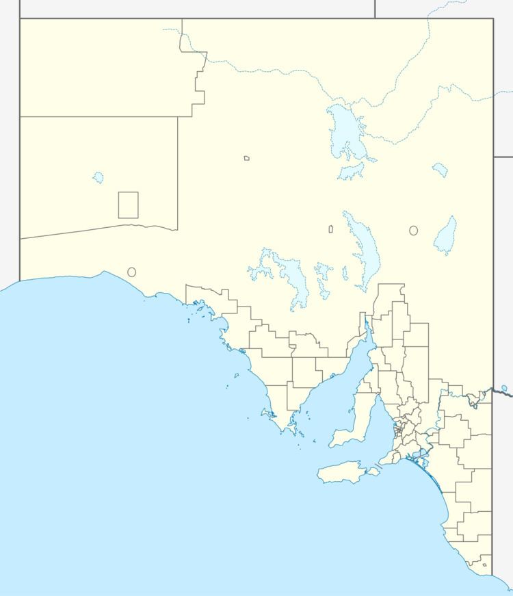
Map of Mount Hope SA 5607, Australia
Mount Hope was discovered by Edward John Eyre in 1839. The school opened in 1911 and closed in 1974. In 1912, it had an undenominational Sunday School run by the same teacher as taught in the school for the rest of the week.
References
Mount Hope, South Australia Wikipedia(Text) CC BY-SA