
Established 1850 Time zone ACST (UTC+9:30) Mean max temp Mean min temp Postal code 5607 Federal division Division of Grey | Postcode(s) 5607 State electorate(s) Flinders Founded 1850 Local time Friday 10:40 AM | |
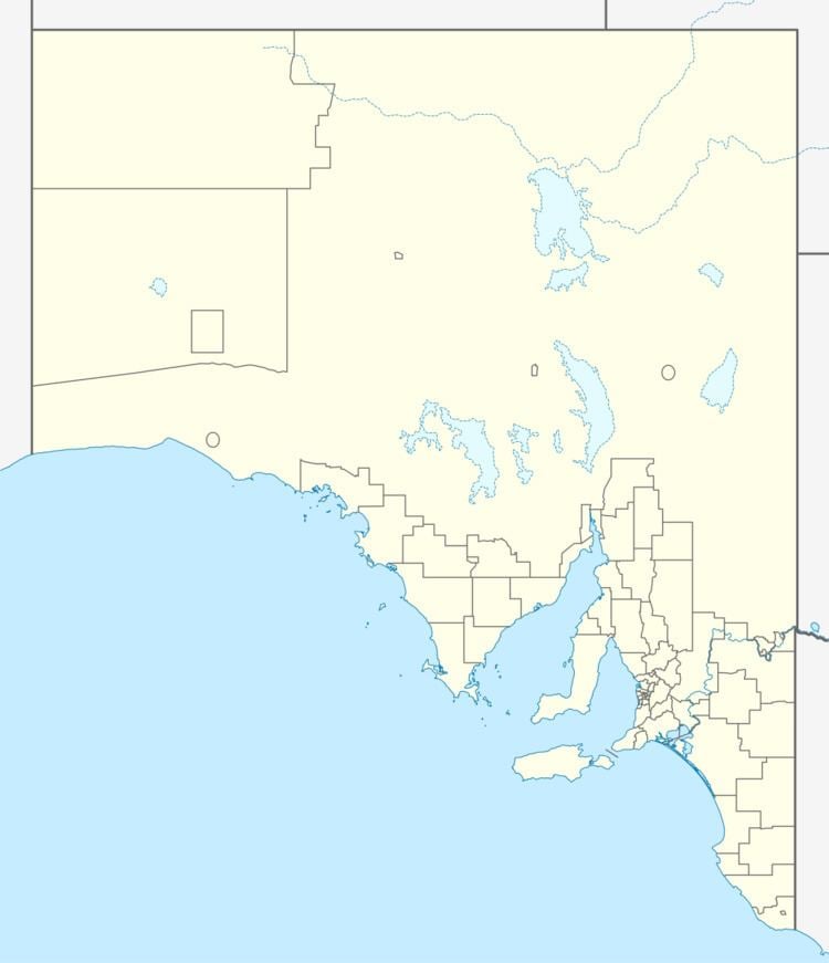 | ||
Location 251 km (156 mi) W of Adelaide city centre
15 km (9 mi) N of Port Lincoln Weather 23°C, Wind N at 3 km/h, 79% Humidity Lga District Council of Lower Eyre Peninsula | ||
Poonindie is a small township near Port Lincoln on the Eyre Peninsula, South Australia.
Contents
Map of Poonindie SA 5607, Australia
The land upon which it sits was originally the land of the Barngarla people. Poonindie was established in 1850 by the Anglican Archbishop of Adelaide Augustus Short as a mission to Aboriginal people in South Australia.
The original church survives and remains in use today. The township also survives, with a small population. The mission itself has been converted to an Aboriginal reserve and granted to the Port Lincoln Aboriginal Community Council. The land is now used as a small homeland, called Akenta.
Heritage listings
Poonindie has a number of sites associated with the former mission listed on the South Australian Heritage Register, including:
References
Poonindie, South Australia Wikipedia(Text) CC BY-SA