
Population 2,668 (2015 est) Mayor Samuel Telfer Founded 1906 | Established 1906 Region Eyre and Western Area 2,616 km² | |
 | ||
Website District Council of Tumby Bay | ||
The Tumby Bay District Council is a local government area of South Australia covering an area of the North Eastern Eyre Peninsula. It was established in 1906, only six years after the town of Tumby Bay was established, when the district was severed from the former District Council of Lincoln (now the District Council of Lower Eyre Peninsula) to form the present council.
Contents
Map of DC of Tumby Bay, SA, Australia
Localities
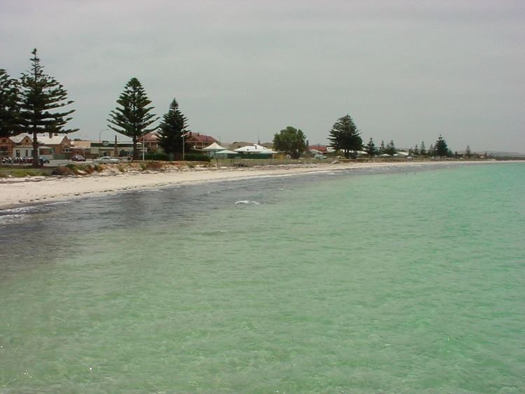
The district encompasses a number of towns and localities, including Brooker, Butler, Cockaleechie, Koppio, Lipson, Moody, Port Neill, Tumby Bay, Ungarra, Yallunda Flat and part of Hincks.
Economy
The District's economy relies heavily on agriculture and fishing, and to a lesser extent, tourism.
The Area has long been a tourist destination, with fishing being a major attraction. A large marina was constructed in Tumby Bay in 2001, which has allowed for easier launching of boats, as well as development of nearby areas.