
Population 0 | ||
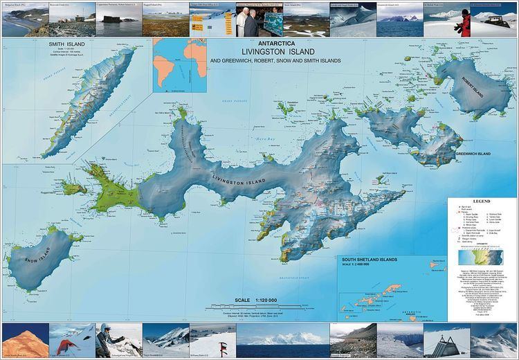 | ||
Vardim Rocks (Bulgarian: скали Вардим, ‘Skali Vardim’ ska-'li 'var-dim) are a group of rocks situated on the south side of Hell Gates, facing Devils Point in the southwest extremity of Byers Peninsula on Livingston Island in the South Shetland Islands, Antarctica. Extending 1.3 km (0.81 mi) in east-west direction. The two principal islets in the group, Demon and Sprite, are extending 420 by 400 m (460 by 440 yd) and 270 by 150 m (300 by 160 yd) respectively, with surface area of the former 9 hectares (22 acres). The area was visited by early 19th century sealers.
Contents
Map of Vardim Rocks, Antarctica
The group includes the small islands of Demon (62°40′26″S 61°10′55″W), Sprite (62°40′23″S 61°11′31″W), and Imp (62°40′20″S 61°12′00″W).
The rocks are named after the village of Vardim and the neighboring Vardim Island which is located on the Danube River in northern Bulgaria. Demon, Sprite and Imp islands are so named to reflect their proximity to Devils Point.
Location
Vardim Rocks are located at 62°40′28″S 61°11′00″W (British mapping in 1968, detailed Spanish mapping in 1992, and Bulgarian mapping in 2005, 2009 and 2010.