
Length 179 km | - elevation 909 ft (277 m) | |
 | ||
Bridges Boone River Bridge, Albright Bridge, Goldfield Bridge | ||
2015 tubing in boone river iowa
The Boone River is a tributary of the Des Moines River in north-central Iowa in the United States. It is 111 miles (179 km) long and drains an area of 895 square miles (2,320 km2). Via the Des Moines River, it is part of the watershed of the Mississippi River.
Contents
Map of Boone River, Iowa, USA
The Boone River rises near Britt in western Hancock County and flows generally southwardly through Wright, Hamilton and Webster counties, past Goldfield and Webster City. It flows into the Des Moines River 17 miles (27 km) north of Boone.
Tributaries of the Boone River also drain portions of Kossuth and Humboldt counties. Two headwaters tributaries are known as the East Branch Boone River and the Middle Branch Boone River.
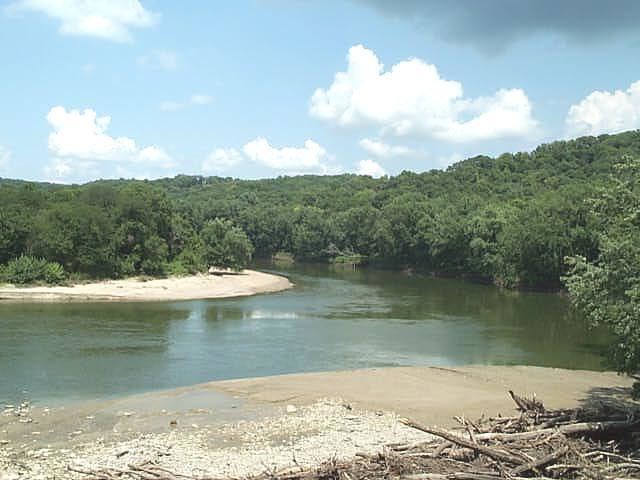
The Iowa Department of Natural Resources has designated the lower 26 miles (42 km) of the Boone River from Webster City to its mouth as a "Protected Water Area". This stretch of the river cuts through a wooded valley and allows canoeing and fishing for smallmouth bass, channel catfish, walleye, northern pike and flathead catfish.