
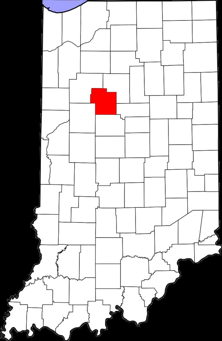
County Carroll FIPS code 18-62075 Elevation 220 m Local time Sunday 9:30 PM | State Indiana GNIS feature ID 441601 Zip code 46065 | |
 | ||
Weather 13°C, Wind SW at 18 km/h, 82% Humidity | ||
Prince William is an unincorporated community in Democrat Township, Carroll County, Indiana.
Contents
Map of Prince William, Democrat Township, IN 46065, USA
Prince William was one of two initial villages when the township was organized in May 1835. It was named for Prince William, Duke of Cumberland. The Prince William post office was discontinued in 1881.
Geography
Prince William is located at 40°26′32″N 86°34′23″W.
Prince William, Indiana was founded in 1837 by Benjamin Ashba(Ashby). Prince William and Lexington were the major towns of Democrat Township until the 1870s.
References
Prince William, Indiana Wikipedia(Text) CC BY-SA