
Country United States GNIS feature ID 453588 Area 54.05 km² Population 433 (2010) | FIPS code 18-45900 Elevation 211 m Local time Friday 12:16 PM | |
 | ||
Weather 3°C, Wind SE at 11 km/h, 88% Humidity | ||
Madison Township is one of fourteen townships in Carroll County, Indiana. As of the 2010 census, its population was 433 and it contained 176 housing units.
Contents
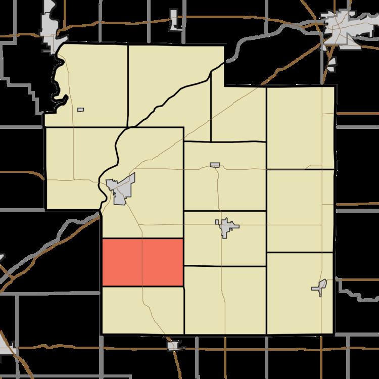
- Map of Madison Township IN USA
- History
- Geography
- Unincorporated towns
- Adjacent townships
- Major highways
- Cemeteries
- References
Map of Madison Township, IN, USA
History
Madison Township was organized in 1837.
Geography
According to the 2010 census, the township has a total area of 20.87 square miles (54.1 km2), all land.
Unincorporated towns
Adjacent townships
Major highways
Cemeteries
The township contains one cemetery, Zion.
References
Madison Township, Carroll County, Indiana Wikipedia(Text) CC BY-SA