
Country United States GNIS feature ID 453146 Area 75.55 km² Population 1,742 (2010) | State Indiana FIPS code 18-09262 Elevation 241 m Local time Tuesday 12:00 AM | |
 | ||
Weather 16°C, Wind S at 35 km/h, 79% Humidity | ||
Burlington Township is one of fourteen townships in Carroll County, Indiana. As of the 2010 census, its population was 1,742 and it contained 746 housing units.
Contents
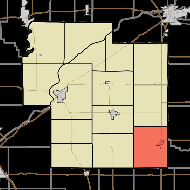
- Map of Burlington Township IN USA
- History
- Geography
- Cities and towns
- Unincorporated towns
- Adjacent townships
- Major highways
- Cemeteries
- References
Map of Burlington Township, IN, USA
History
Burlington Township was organized in 1832.
Geography
According to the 2010 census, the township has a total area of 29.17 square miles (75.5 km2), all land.
Cities and towns
Unincorporated towns
Adjacent townships
Major highways
Cemeteries
The township contains three cemeteries: Asbury, Burlington and Hyde Park.
References
Burlington Township, Carroll County, Indiana Wikipedia(Text) CC BY-SA