
Congressional district At-large Website day.sdcounties.org Founded 1880 Unemployment rate 5.7% (Apr 2015) | Area 2,826 km² Population 5,596 (2013) | |
 | ||
Rivers Mud Creek, Antelope Creek, Chekepa Creek Points of interest Pickerel Lake State Recreatio, Waubay National Wildlife R, Museum of Wildlife - Science, International Vinegar Museum | ||
Day County is a county located in the U.S. state of South Dakota. As of the 2010 census, the population was 5,710. Its county seat is Webster. The county is named after Merritt H. Day, pioneer and 1879 Dakota Territory legislator.
Contents
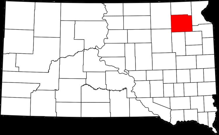
- Map of Day County SD USA
- Geography
- Major highways
- Adjacent counties
- National protected area
- 2000 census
- 2010 census
- Cities
- Towns
- Unincorporated communities
- Townships
- References
Map of Day County, SD, USA
Geography
According to the U.S. Census Bureau, the county has a total area of 1,091 square miles (2,830 km2), of which 1,028 square miles (2,660 km2) is land and 63 square miles (160 km2) (5.8%) is water.
Major highways
Adjacent counties
National protected area
2000 census
As of the census of 2000, there were 6,267 people, 2,586 households, and 1,688 families residing in the county. The population density was 6 people per square mile (2/km²). There were 3,618 housing units at an average density of 4 per square mile (1/km²). The racial makeup of the county was 91.26% White, 0.13% Black or African American, 7.40% Native American, 0.06% Asian, 0.05% Pacific Islander, 0.16% from other races, and 0.94% from two or more races. 0.38% of the population were Hispanic or Latino of any race. 34.5% were of German, 26.9% Norwegian and 10.9% Polish ancestry.
There were 2,586 households out of which 27.30% had children under the age of 18 living with them, 54.40% were married couples living together, 6.80% had a female householder with no husband present, and 34.70% were non-families. 31.80% of all households were made up of individuals and 18.00% had someone living alone who was 65 years of age or older. The average household size was 2.36 and the average family size was 2.98.
In the county, the population was spread out with 25.50% under the age of 18, 5.20% from 18 to 24, 22.40% from 25 to 44, 23.40% from 45 to 64, and 23.50% who were 65 years of age or older. The median age was 43 years. For every 100 females there were 96.50 males. For every 100 females age 18 and over, there were 94.50 males.
The median income for a household in the county was $30,227, and the median income for a family was $38,011. Males had a median income of $27,279 versus $18,179 for females. The per capita income for the county was $15,856. About 11.40% of families and 14.30% of the population were below the poverty line, including 17.40% of those under age 18 and 11.80% of those age 65 or over.
2010 census
As of the 2010 United States Census, there were 5,710 people, 2,504 households, and 1,561 families residing in the county. The population density was 5.6 inhabitants per square mile (2.2/km2). There were 3,630 housing units at an average density of 3.5 per square mile (1.4/km2). The racial makeup of the county was 88.1% white, 9.5% American Indian, 0.2% Asian, 0.1% black or African American, 0.4% from other races, and 1.7% from two or more races. Those of Hispanic or Latino origin made up 1.1% of the population. In terms of ancestry, 43.8% were German, 25.1% were Norwegian, 12.8% were Polish, 8.8% were Irish, and 6.1% were American.
Of the 2,504 households, 24.4% had children under the age of 18 living with them, 50.0% were married couples living together, 7.9% had a female householder with no husband present, 37.7% were non-families, and 34.0% of all households were made up of individuals. The average household size was 2.22 and the average family size was 2.83. The median age was 47.9 years.
The median income for a household in the county was $36,818 and the median income for a family was $47,949. Males had a median income of $36,549 versus $25,750 for females. The per capita income for the county was $20,542. About 10.7% of families and 12.5% of the population were below the poverty line, including 11.7% of those under age 18 and 14.1% of those age 65 or over.
Cities
Towns
Unincorporated communities
Townships
The county is divided into twenty-eight townships: