
Car plates SCZ | Area 1,519 km² | |
 | ||
Gminas Total 16Gmina BlachowniaGmina Dąbrowa ZielonaGmina JanówGmina Kamienica PolskaGmina KłomniceGmina KoniecpolGmina KonopiskaGmina KruszynaGmina LelówGmina MstówGmina MykanówGmina OlsztynGmina PoczesnaGmina PrzyrówGmina RędzinyGmina Starcza Points of interest Jasna Góra Monastery, Czestochowa Museum, Muzeum Górnictwa Rud Żelaza, Muzeum Produkcji Zapałek, Muzeum Częstochowskie ‑ Zagroda Colleges and Universities Jan Długosz University, Częstochowa University of Techno, Wydział Filologiczno‑Historyczny Akademii | ||
Częstochowa County (Polish: powiat częstochowski) is a unit of territorial administration and local government (powiat) in Silesian Voivodeship, southern Poland. It came into being on January 1, 1999, as a result of the Polish local government reforms passed in 1998. Its administrative seat is the city of Częstochowa, although the city is not part of the county (it constitutes a separate city county). The only towns in Częstochowa County are Blachownia, which lies 11 km (7 mi) west of Częstochowa, and Koniecpol, 40 km (25 mi) east of Częstochowa.
Contents
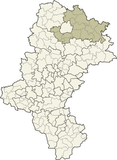
Map of Cz%C4%99stochowa County, Poland
The county covers an area of 1,519.49 square kilometres (586.7 sq mi). As of 2006 its total population is 133,553, out of which the population of Blachownia is 9,863, that of Koniecpol is 6,303, and the rural population is 117,387.
Neighbouring counties
Apart from the city of Częstochowa, Częstochowa County is also bordered by Pajęczno County to the north, Radomsko County to the north-east, Włoszczowa County to the east, Zawiercie County and Myszków County to the south, Lubliniec County to the west, and Kłobuck County to the north-west.
Administrative division
The county is subdivided into 16 gminas (two urban-rural and 14 rural). These are listed in the following table, in descending order of population.